Transport Functions
Road
Multimodal
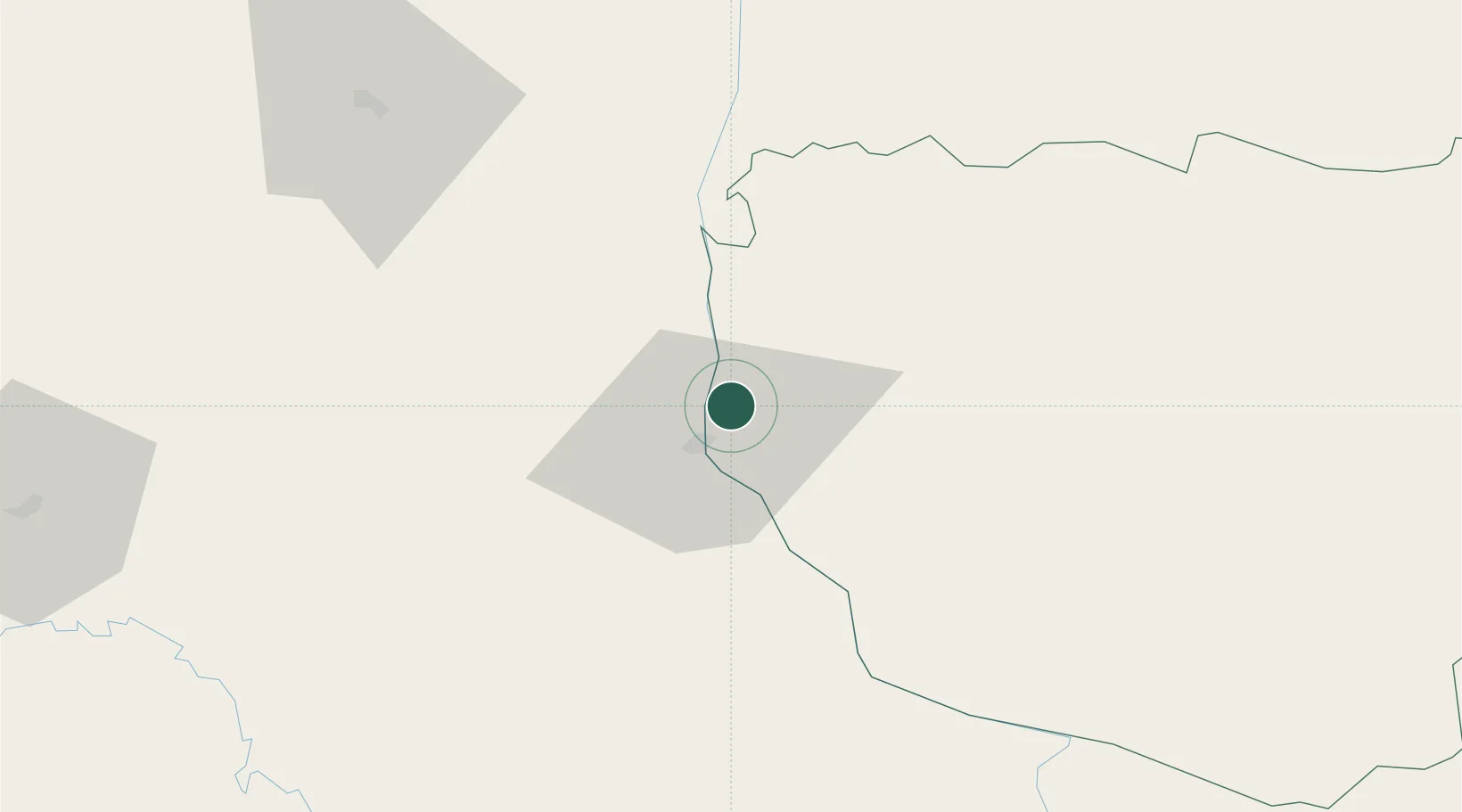
Hub Profile
Place type
Regional capital
Region
Savannakhet Province
Population
125,760
Time zone
Asia/Vientiane
Elevation
154 m
Logistics facilities
1
Location
Nearby Logistics Neighbours
Cities
- 1Thakhek97 km
- 2Vangtao181 km
- 3Quäng Bình190 km
- 4Khon Kaen211 km
- 5Rao Qua211 km
Airports
- 1Savannakhet Airport8 km
- 2Nakhon Phanom Airport87 km
- 3Sakon Nakhon Airport97 km
- 4Roi Et Airport123 km
- 5Ubon Ratchathani Airport152 km
Trade Zones
DatabookThe Record of Consolidated Knowledge
Laos beyond logistics?