Transport Functions
Road
Airport
Multimodal
Hub Profile
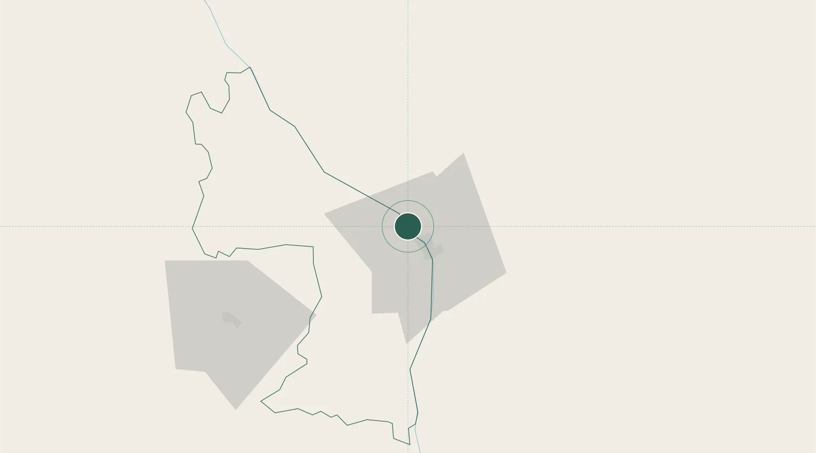
Place type
Regional capital
Region
Khammouane Province
Population
85,000
Time zone
Asia/Vientiane
Elevation
176 m
Location
Nearby Logistics Neighbours
Cities
- 1Savannakhét97 km
- 2Rao Qua124 km
- 3Van Lâm157 km
- 4Quäng Bình170 km
- 5Vinh170 km
Airports
- 1Nakhon Phanom Airport15 km
- 2Sakon Nakhon Airport73 km
- 3Savannakhet Airport103 km
- 4Vinh Airport171 km
- 5Roi Et Airport183 km
Trade Zones
DatabookThe Record of Consolidated Knowledge
Laos beyond logistics?