Medium airport · Thailand

Buri Ram AirportVTUO
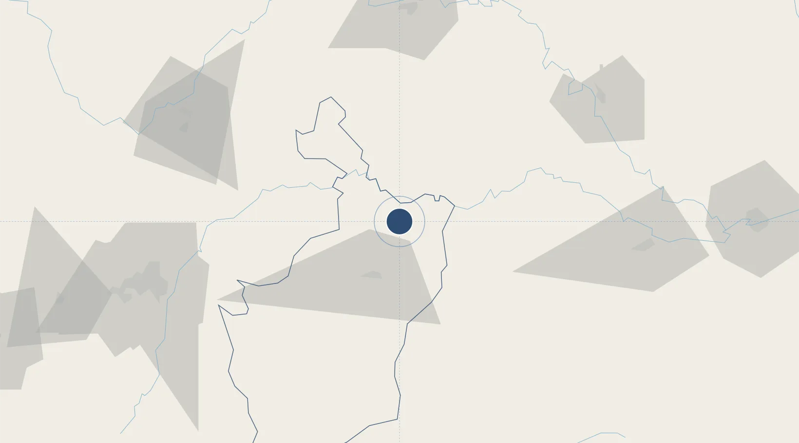
15.2295°, 103.2530°
6,890 ft
Longest runway
1
Runways
590 ft
Elevation

Runway & Layout

Buri Ram Airport runway & taxiway layout
Runway & taxiway layout — OpenStreetMap (ODbL) / OurAirports

Radio Frequencies

ATIS
30.3 MHz
TWR
122.5 MHz
APP
123.6 MHz
OurAirports

Navaids

BR NDB Buri Ram 303 kHz
BRM VOR-DME Buri Ram 117.20 MHz
OurAirports

Runways · 1

RunwayDimensions SurfaceTrue headingLit
04/22 6,890 × 148ft Asphalt 035°
OurAirports

Airport Specifications

IATA code
BFV
OurAirports
ICAO code
VTUO
OurAirports
Airport class
Medium airport
OurAirports
Scheduled service
Yes
OurAirports
Runway surface
Asphalt
OurAirports
Served city
Buriram
OurAirports

Location

Location of VTUO
Natural Earth 10m (public domain) · Buri Ram · VTUO · 15.23, 103.25GoogleOSMYandex

Nearby Logistics Neighbours

Airports
  1. 1Surin Airport48 km
  2. 2Nakhon Ratchasima Airport106 km
  3. 3Roi Et Airport113 km
  4. 4Khon Kaen Airport146 km
  5. 5Ubon Ratchathani Airport174 km
Nearest neighbours — logibook spatial index (haversine) over the source coordinates
Cities
  1. 1Khon Kaen141 km
  2. 2Paôy Pêt (Poipet)191 km
  3. 3Pak Chong206 km
  4. 4Savannakhét226 km
  5. 5Vangtao236 km
Nearest neighbours — logibook spatial index (haversine) over the source coordinates
Ports
  1. 1Bangkok339 km
  2. 2Si Racha Terminal341 km
  3. 3Siam Seaport346 km
  4. 4Ko Si Chang Terminal349 km
  5. 5Laem Chabang350 km
Nearest neighbours — logibook spatial index (haversine) over the source coordinates
Trade Zones
  1. 1Suranaree Industrial Zone124 km
  2. 2Nava Nakorn Nakonratchasima Industrial Zone158 km
  3. 3Sanco Poi Pet Special Economic Zone189 km
  4. 4Poi Pet Oneang Special Economic Zone190 km
  5. 5Kabinburi Industrial Zone201 km
Nearest neighbours — logibook spatial index (haversine) over the source coordinates
DatabookThe Record of Consolidated Knowledge
Thailand beyond logistics?
Browse databook

All Sources

AirportsOurAirports
Public domain
Portsthe NGA World Port Index
Public domain (US gov)
LocationsUN/LOCODE
UN/LOCODE — free
Trade Zonesthe World Bank SEZ database
CC BY 4.0
Trade ZonesOpen Zone Map
CC BY
InfrastructureOpenStreetMap
ODbL 1.0
← Thailand airports