Medium airport · Thailand
Roi Et AirportVTUV
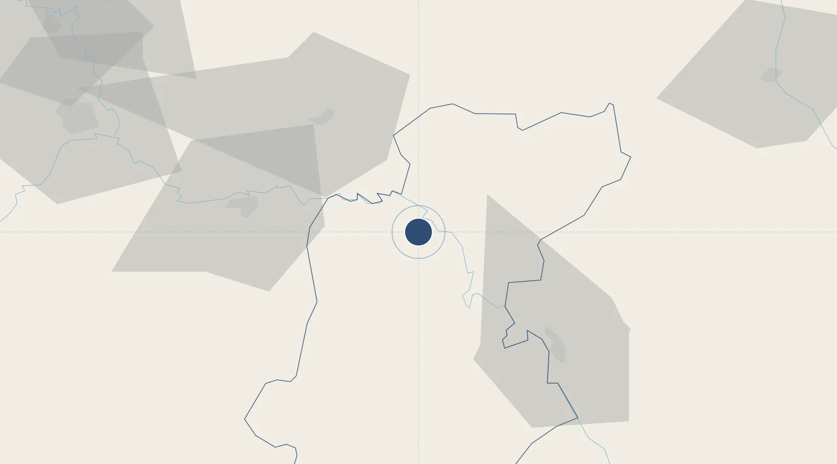
16.1168°, 103.7740°
6,890 ft
Longest runway
1
Runways
451 ft
Elevation
Runway & Layout

Radio Frequencies
ATIS
31.9 MHz
TWR
119.75 MHz
APP
125.4 MHz
Navaids
RE NDB Roi Et 319 kHz
ROT VOR-DME Roi Et 111.20 MHz
Runways · 1
| Runway | Dimensions | Surface | True heading | Lit |
|---|---|---|---|---|
| 18/36 | 6,890 × 148ft | Asphalt | 182° | ✓ |
Airport Specifications
IATA code
ROI
ICAO code
VTUV
Airport class
Medium airport
Scheduled service
Yes
Runway surface
Asphalt
Served city
Roi Et
Location
Nearby Logistics Neighbours
Airports
- 1Khon Kaen Airport113 km
- 2Buri Ram Airport113 km
- 3Savannakhet Airport116 km
- 4Sakon Nakhon Airport125 km
- 5Surin Airport142 km
Cities
- 1Khon Kaen106 km
- 2Savannakhét123 km
- 3Thakhek183 km
- 4Vangtao211 km
- 5Thanaleng230 km
Ports
- 1Nghe Tinh363 km
- 2Bangkok439 km
- 3Si Racha Terminal450 km
- 4Siam Seaport455 km
- 5Ko Si Chang Terminal457 km
Trade Zones
DatabookThe Record of Consolidated Knowledge
Thailand beyond logistics?