Transport Functions
Port
Road
Hub Profile
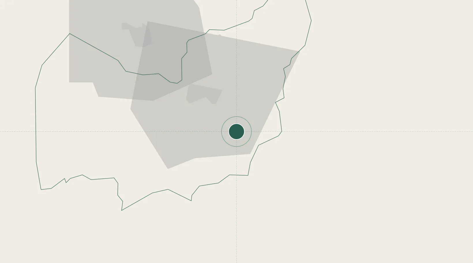
Place type
Populated place
Region
Manzini Region
Population
1,746
Time zone
Africa/Mbabane
Elevation
375 m
Location
Nearby Logistics Neighbours
Cities
- 1Siphofaneni24 km
- 2Malkerns27 km
- 3Ezulwini37 km
- 4Motshane46 km
- 5Nhlangano61 km
Ports
- 1Maputo131 km
- 2Richards Bay252 km
- 3Durban363 km
- 4Inhambane498 km
- 5East London791 km
Airports
- 1Matsapha International Airport17 km
- 2King Mswati III International Airport39 km
- 3Barberton Airport111 km
- 4Mkuze Airport127 km
- 5Maputo Airport136 km
Trade Zones
DatabookThe Record of Consolidated Knowledge
Eswatini beyond logistics?