Transport Functions
Rail
Road
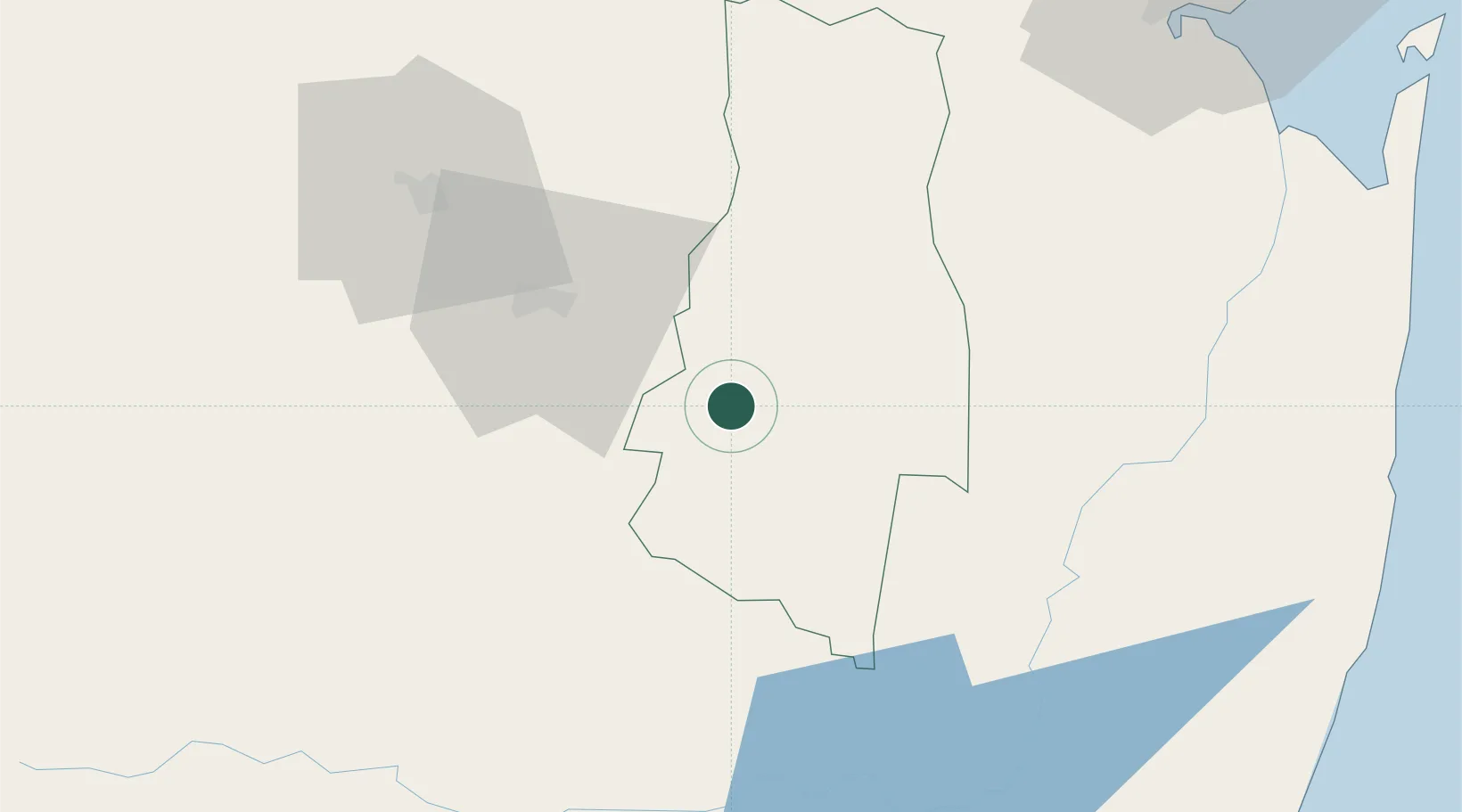
Hub Profile
Place type
Populated place
Region
Lubombo Region
Time zone
Africa/Mbabane
Elevation
189 m
Location
Nearby Logistics Neighbours
Cities
- 1Sidvokodvo24 km
- 2Malkerns51 km
- 3Ezulwini60 km
- 4Nhlangano68 km
- 5Motshane68 km
Ports
- 1Maputo117 km
- 2Richards Bay240 km
- 3Durban359 km
- 4Inhambane484 km
- 5East London794 km
Airports
- 1King Mswati III International Airport36 km
- 2Matsapha International Airport41 km
- 3Mkuze Airport111 km
- 4Maputo Airport123 km
- 5Barberton Airport129 km
Trade Zones
DatabookThe Record of Consolidated Knowledge
Eswatini beyond logistics?