UN/LOCODE hub · El Salvador
SVZAC
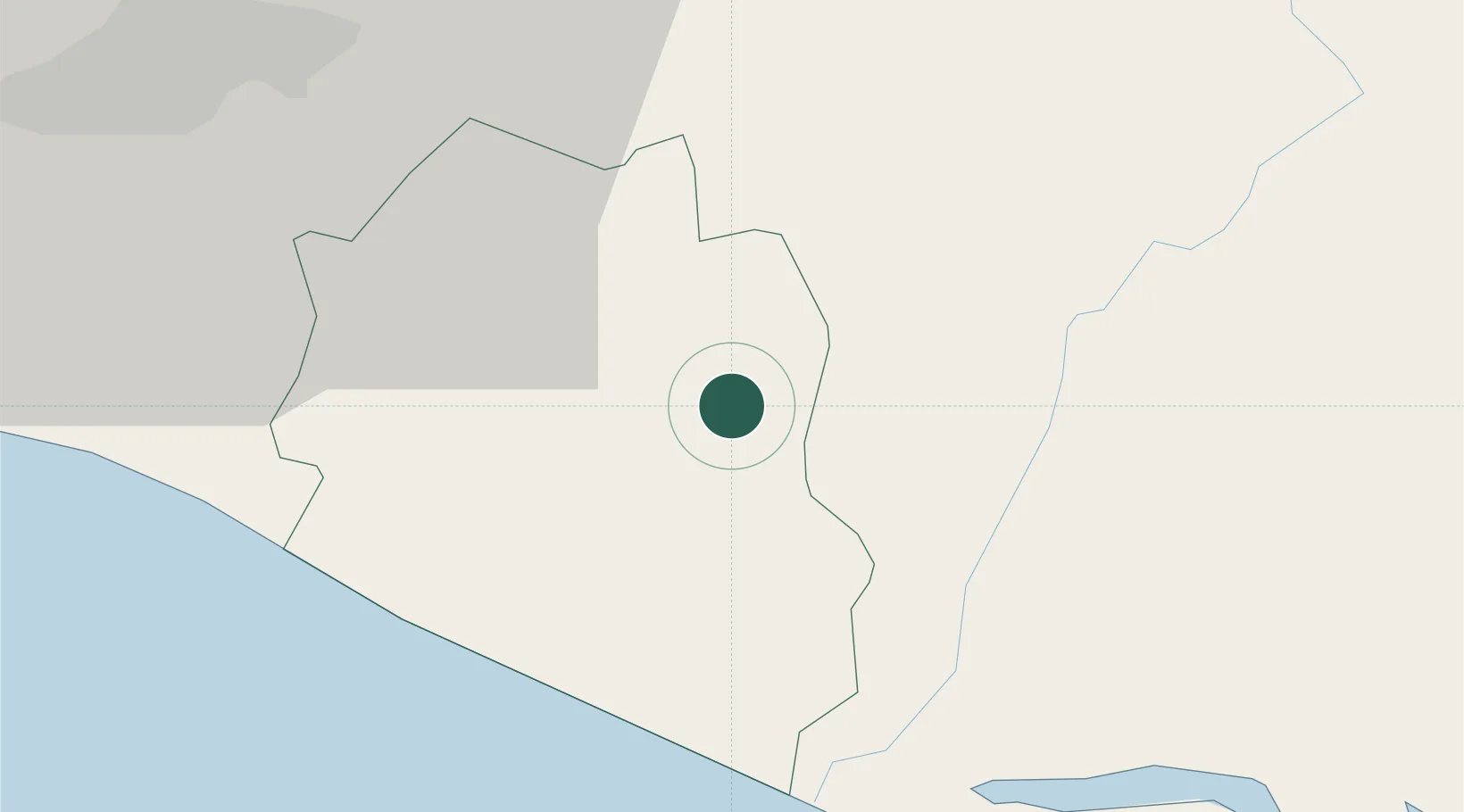
Zacatecoluca
13.5000°, -88.8667°
39,613
Population
2
Transport functions
Transport Functions
Rail
Road
Hub Profile
Place type
Regional capital
Region
La Paz Department
Population
39,613
Time zone
America/El_Salvador
Elevation
220 m
Location
Nearby Logistics Neighbours
Cities
- 1Ilopango34 km
- 2Soyapango38 km
- 3San Marcos39 km
- 4Antiguo Cuscatlán44 km
- 5Nuevo Cuscatlan44 km
Ports
- 1Acajutla109 km
- 2La Union113 km
- 3Puerto De Hencan154 km
- 4Puerto Quetzal214 km
- 5Corinto216 km
Airports
Trade Zones
- 1Zona Franca Internacional28 km
- 2Miramar Free Zone28 km
- 3Zona Franca Santo Tomás35 km
- 4Zona Franca San Bartolo35 km
- 5San Marcos Free Zone39 km
DatabookThe Record of Consolidated Knowledge
El Salvador beyond logistics?