UN/LOCODE hub · El Salvador
SVCUS
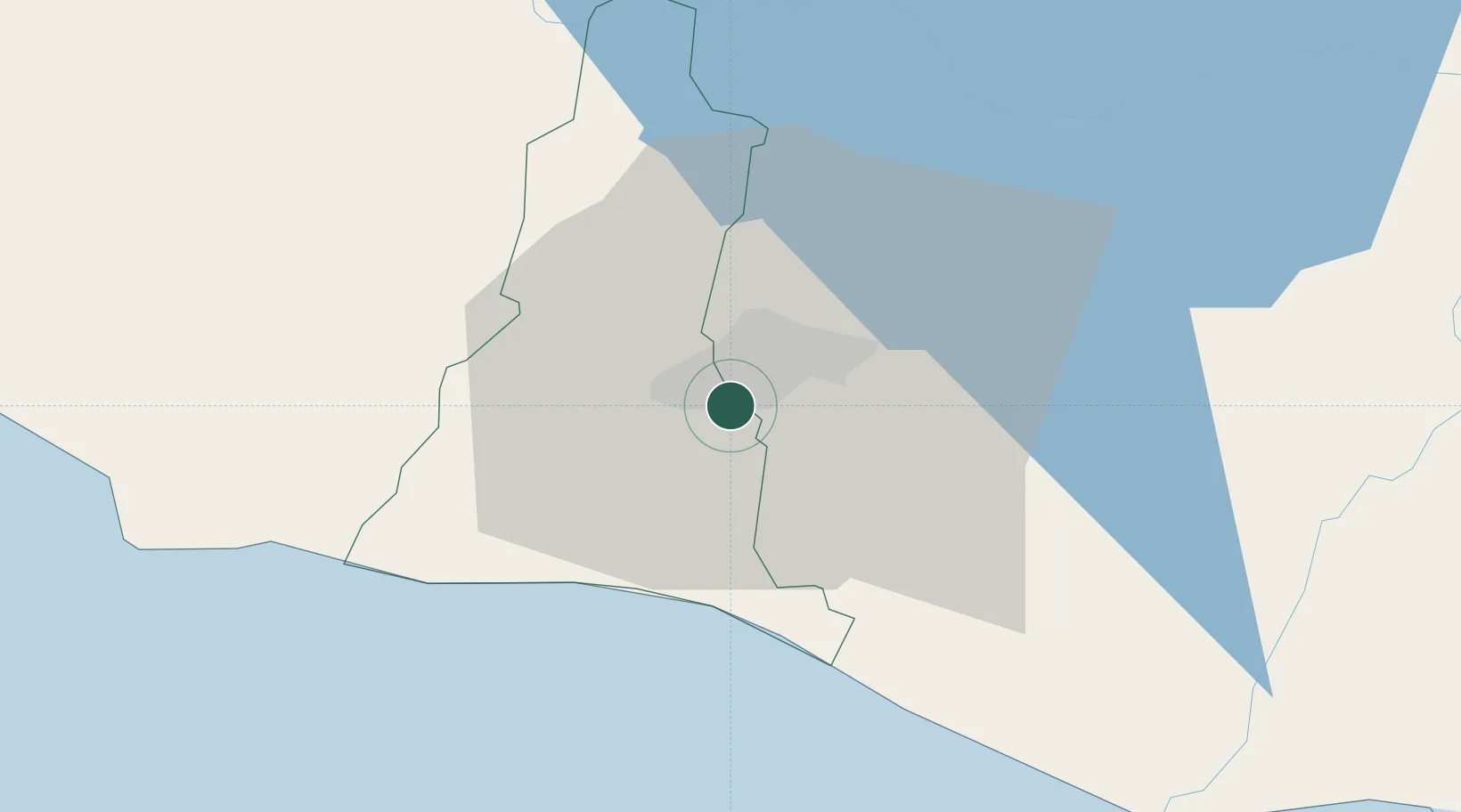
Antiguo Cuscatlán
13.6667°, -89.2333°
33,767
Population
2
Transport functions
Transport Functions
Road
Multimodal
Hub Profile
Place type
Populated place
Region
La Libertad Department
Population
33,767
Time zone
America/El_Salvador
Elevation
891 m
Location
Nearby Logistics Neighbours
Cities
- 1Nuevo Cuscatlan4 km
- 2Ayutuxtepeque8 km
- 3Mejicanos8 km
- 4San Marcos9 km
- 5Soyapango10 km
Ports
- 1Acajutla69 km
- 2La Union156 km
- 3Puerto Quetzal172 km
- 4Puerto De Hencan195 km
- 5Santo Tomas De Castilla236 km
Airports
Trade Zones
DatabookThe Record of Consolidated Knowledge
El Salvador beyond logistics?