Transport Functions
Multimodal
Hub Profile
Place type
Populated place
Region
San Salvador Department
Population
38,890
Time zone
America/El_Salvador
Elevation
620 m
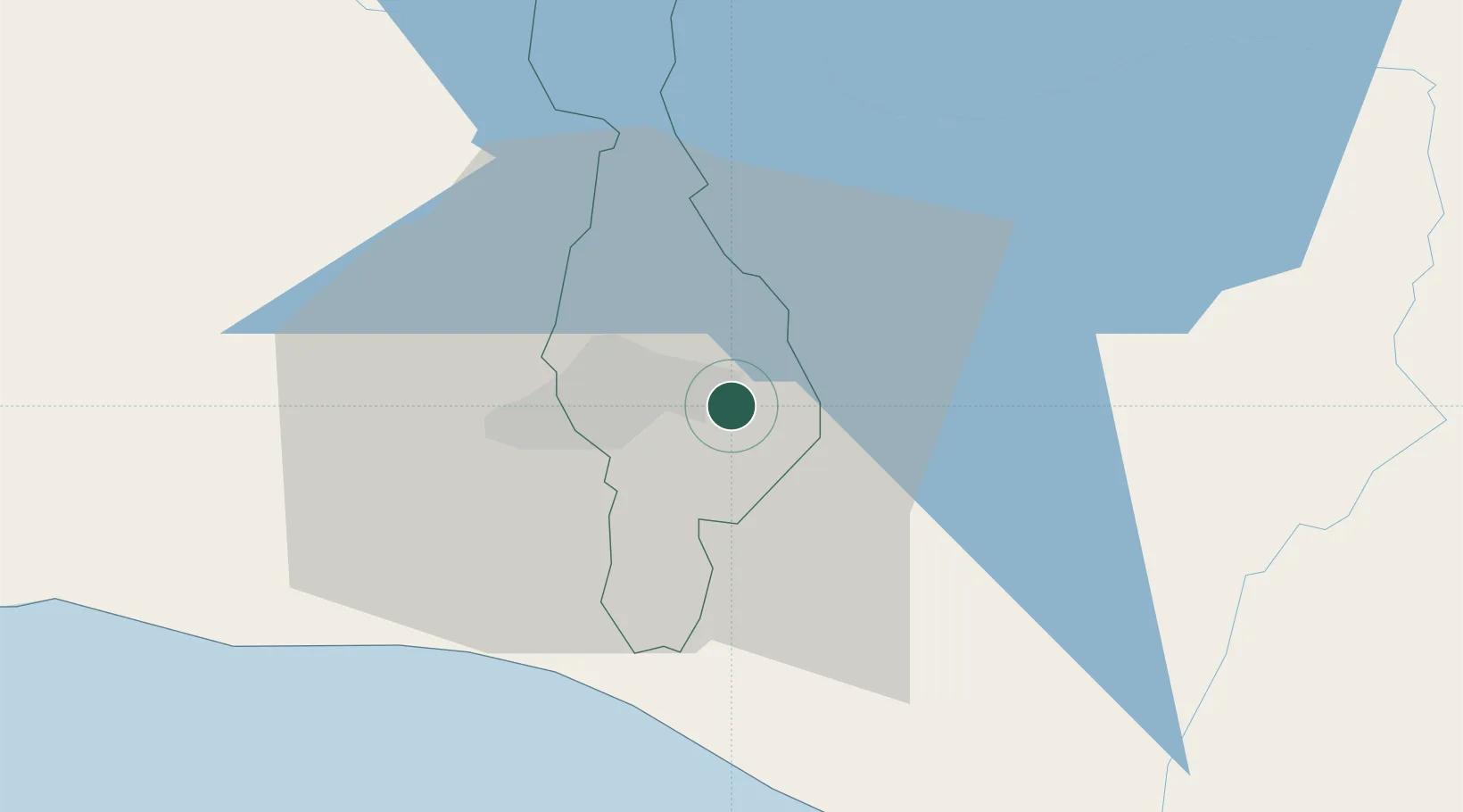
Location
Nearby Logistics Neighbours
Cities
- 1Soyapango5 km
- 2Ayutuxtepeque11 km
- 3Mejicanos11 km
- 4Apopa14 km
- 5Antiguo Cuscatlán15 km
Ports
- 1Acajutla84 km
- 2La Union143 km
- 3Puerto De Hencan182 km
- 4Puerto Quetzal185 km
- 5Santo Tomas De Castilla228 km
Airports
Trade Zones
- 1Zona Franca San Bartolo1 km
- 2Zona Franca Santo Tomás7 km
- 3San Marcos Free Zone11 km
- 4Miramar Free Zone15 km
- 5El Pedregal Free Zone15 km
DatabookThe Record of Consolidated Knowledge
El Salvador beyond logistics?