Seaport · Guatemala
Puerto QuetzalGTPRQ
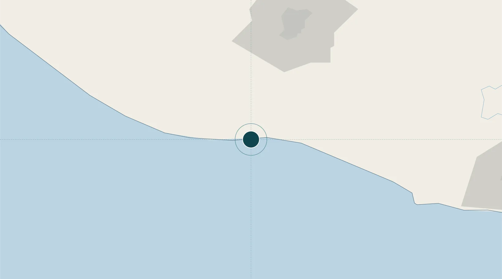
13.9167°, -90.8000°
14.0 m
Channel depth
2
Container terminals
164.9
Port liner connectivity
Channel & Berth Profile
Pilotage, Tugs & Services
Pilotage compulsoryYES
Pilotage availableYES
Tug assistanceYES
Potable waterYES
Facilities & Capabilities
ContainerYES
Ro-Ro—
Liquid bulkYES
Dry bulkYES
Oil terminalYES
Break bulkYES
Dry dock—
RepairsNO
BunkeringYES
Rail linkNO
Dangerous cargo—
ISPS securityYES
Harbour Specifications
Harbour size
Very Small
Harbour type
Coastal (Breakwater)
Shelter
Fair
Water body
North Pacific Ocean
Tidal range
2.8 m
Overhead limit
No
Pilotage
Yes
Liner Connectivity
164.9
PLSCI
Port Liner Shipping Connectivity Index for Puerto Quetzal, as published by UNCTAD for the latest available quarter. Higher values indicate stronger scheduled liner-shipping integration.
Shown relative to the highest per-port PLSCI in the dataset (1,657.9).
Location
Container Terminals · 2
EMPRESA PORTUARIA QUETZAL (EPQ)
EPQEZ YILPORT HOLDING INC.
APM TERMINALS QUETZAL
TCQ APM TERMINALS
Nearby Logistics Neighbours
Ports
- 1Acajutla107 km
- 2Puerto Madero198 km
- 3Santo Tomas De Castilla307 km
- 4Puerto Barrios311 km
- 5La Union327 km
Cities
- 1San Jose6 km
- 2Obero13 km
- 3Masagua32 km
- 4Sipacate36 km
- 5Santa Lucía Cotzumalguapa52 km
Airports
- 1San José Airport4 km
- 2La Aurora International Airport80 km
- 3Retalhuleu Airport118 km
- 4Quezaltenango Airport130 km
- 5Huehuetenango Airport173 km
Trade Zones
- 1Grupo Zeta Free Zone63 km
- 2Zona Franca Cropa81 km
- 3Zona Franca 10120 km
- 4Zona Franca Santa Ana137 km
- 5American Park Free Zone149 km
DatabookThe Record of Consolidated Knowledge
Guatemala beyond logistics?