UN/LOCODE hub · El Salvador
SVSOY
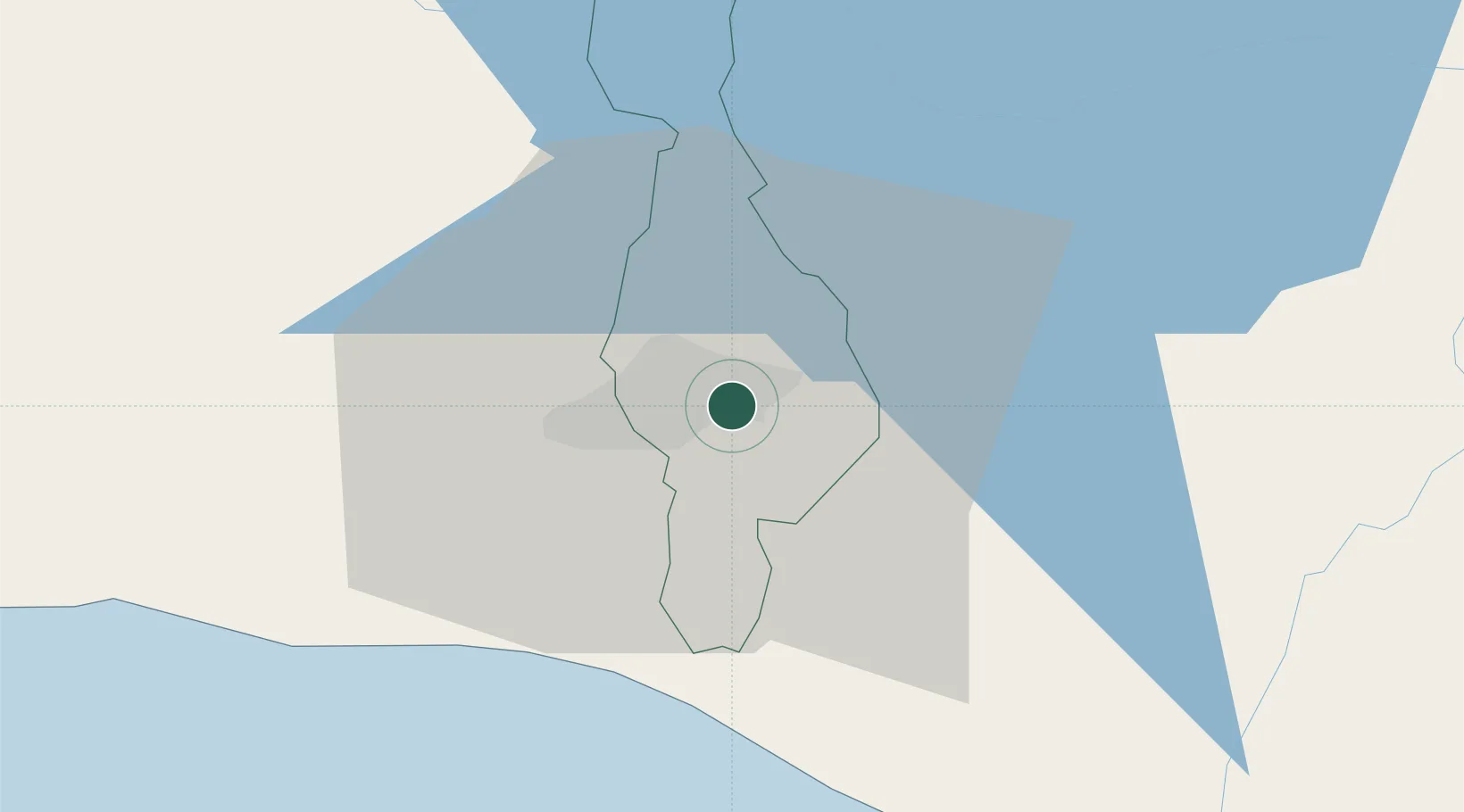
Soyapango
13.7000°, -89.1500°
329,708
Population
2
Transport functions
Transport Functions
Rail
Road
Hub Profile
Place type
Populated place
Region
San Salvador Department
Population
329,708
Time zone
America/El_Salvador
Elevation
634 m
Location
Nearby Logistics Neighbours
Cities
- 1Ilopango5 km
- 2Ayutuxtepeque7 km
- 3Mejicanos7 km
- 4Antiguo Cuscatlán10 km
- 5Apopa10 km
Ports
- 1Acajutla79 km
- 2La Union148 km
- 3Puerto Quetzal180 km
- 4Puerto De Hencan187 km
- 5Santo Tomas De Castilla230 km
Airports
Trade Zones
DatabookThe Record of Consolidated Knowledge
El Salvador beyond logistics?