Export Processing Zone · El Salvador

Miramar Free Zone Active
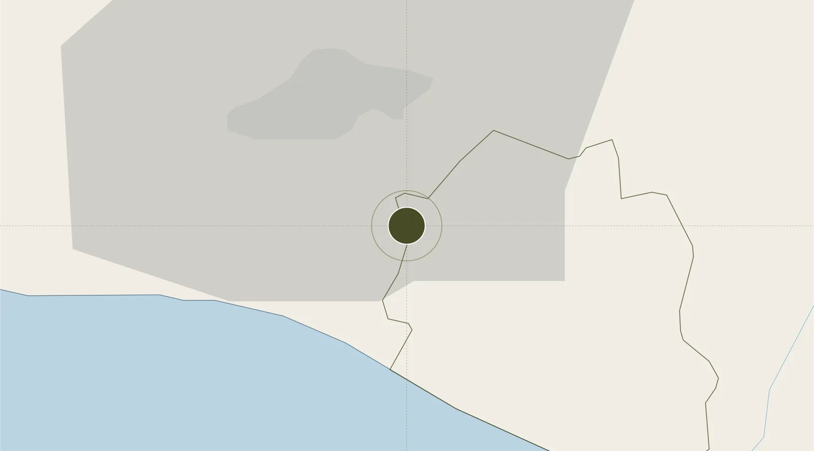
13.5697°, -89.1178°
1 ha
Zone area
81.0 km
Nearest port
14.4 km
Nearest airport

Gateway access

Nearest neighbours — logibook spatial index (haversine) over the source coordinates

Zone profile

Zone type
Export Processing Zone
Open Zone Map
Region
La Paz
Open Zone Map
Status
Active
Open Zone Map
Management
Private
Open Zone Map
Operator
MIRAMAR Business Park & Global Services
Open Zone Map
Legal framework
Law of Industrial and Marketing Free Zones
Open Zone Map

Location

Location of ozm-1878
Natural Earth 10m (public domain) · La Paz · ozm-1878 · 13.57, -89.12GoogleOSMYandex

Nearby Logistics Neighbours

Ports
  1. 1Acajutla81 km
  2. 2La Union141 km
  3. 3Puerto De Hencan181 km
  4. 4Puerto Quetzal186 km
  5. 5Santo Tomas De Castilla243 km
Nearest neighbours — logibook spatial index (haversine) over the source coordinates
Airports
  1. 1Ilopango International Airport14 km
  2. 2El Salvador International Airport Saint Óscar Arnulfo Romero y Galdámez16 km
  3. 3Palmerola International Airport185 km
  4. 4La Aurora International Airport189 km
  5. 5San José Airport190 km
Nearest neighbours — logibook spatial index (haversine) over the source coordinates
Cities
  1. 1San Marcos11 km
  2. 2Ilopango15 km
  3. 3Soyapango15 km
  4. 4Nuevo Cuscatlan16 km
  5. 5Antiguo Cuscatlán17 km
Nearest neighbours — logibook spatial index (haversine) over the source coordinates
Trade Zones
  1. 1Zona Franca Internacional2 km
  2. 2Zona Franca Santo Tomás10 km
  3. 3San Marcos Free Zone13 km
  4. 4Zona Franca San Bartolo15 km
  5. 5El Pedregal Free Zone20 km
Nearest neighbours — logibook spatial index (haversine) over the source coordinates
DatabookThe Record of Consolidated Knowledge
El Salvador beyond logistics?
Browse databook

All Sources

Trade ZonesOpen Zone Map
CC BY
Portsthe NGA World Port Index
Public domain (US gov)
AirportsOurAirports
Public domain
LocationsUN/LOCODE
UN/LOCODE — free
← El Salvador trade zones