Large airport · Guatemala
La Aurora International AirportMGGT
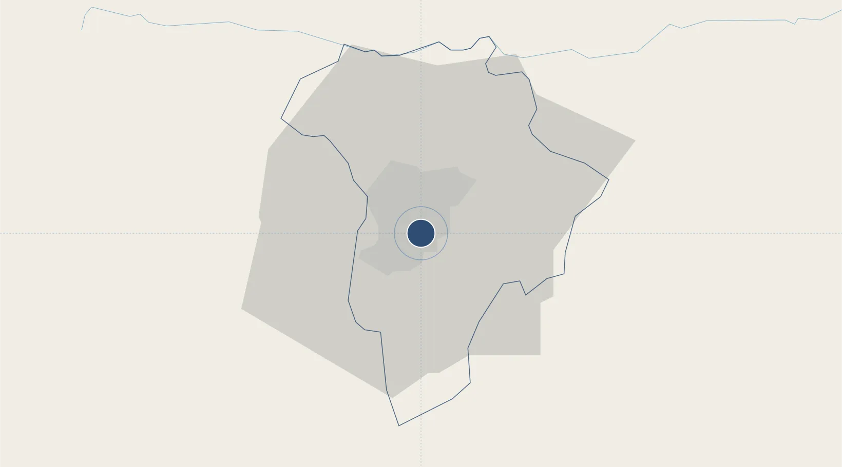
14.5829°, -90.5275°
9,800 ft
Longest runway
1
Runways
4,952 ft
Elevation
Runway & Layout

Radio Frequencies
ATIS
126.5 MHz
TWR
118.1 MHz
GND
121.9 MHz
CLD
120.7 MHz
CLNC DEL
APP
119.3 MHz
CON
AFIS
126.9 MHz
GUATEMALA RDO
Navaids
AUR VOR-DME La Aurora 114.50 MHz
GUA NDB Guatemala City 375 kHz
Runways · 1
| Runway | Dimensions | Surface | True heading | Lit |
|---|---|---|---|---|
| 02/20 | 9,800 × 196ft | Asphalt | 017° | ✓ |
Airport Specifications
IATA code
GUA
ICAO code
MGGT
Airport class
Large airport
Scheduled service
Yes
Runway surface
Asphalt
Served city
Guatemala City
Location
Nearby Logistics Neighbours
Airports
- 1San José Airport79 km
- 2Coban Airport99 km
- 3Quezaltenango Airport109 km
- 4Retalhuleu Airport126 km
- 5Huehuetenango Airport133 km
Cities
- 1Boca del Monte4 km
- 2Villa Nueva9 km
- 3San Miguel Petapa10 km
- 4Villa Canales13 km
- 5Masagua54 km
Ports
- 1Puerto Quetzal80 km
- 2Acajutla132 km
- 3Puerto Madero207 km
- 4Santo Tomas De Castilla240 km
- 5Puerto Barrios243 km
Trade Zones
- 1Zona Franca Cropa2 km
- 2Grupo Zeta Free Zone18 km
- 3Zona Franca 10112 km
- 4Zona Franca Santa Ana124 km
- 5American Park Free Zone147 km
DatabookThe Record of Consolidated Knowledge
Guatemala beyond logistics?