Free Trade Zone · El Salvador

Zona Franca San Bartolo Active
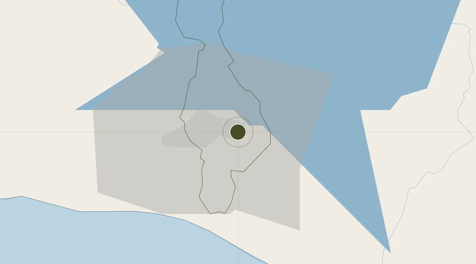
13.7038°, -89.1095°
7 ha
Zone area
82.9 km
Nearest port
1.2 km
Nearest airport

Gateway access

Nearest neighbours — logibook spatial index (haversine) over the source coordinates

Zone profile

Zone type
Free Trade Zone
Open Zone Map
Region
San Salvador
Open Zone Map
Status
Active
Open Zone Map
Management
Private
Open Zone Map
Operator
Grupo Sinai
Open Zone Map
Legal framework
Law of Industrial and Marketing Free Zones
Open Zone Map

Location

Location of ozm-1883
Natural Earth 10m (public domain) · San Salvador · ozm-1883 · 13.70, -89.11GoogleOSMYandex

Nearby Logistics Neighbours

Ports
  1. 1Acajutla83 km
  2. 2La Union144 km
  3. 3Puerto De Hencan183 km
  4. 4Puerto Quetzal184 km
  5. 5Santo Tomas De Castilla228 km
Nearest neighbours — logibook spatial index (haversine) over the source coordinates
Airports
  1. 1Ilopango International Airport1 km
  2. 2El Salvador International Airport Saint Óscar Arnulfo Romero y Galdámez29 km
  3. 3Palmerola International Airport177 km
  4. 4La Aurora International Airport182 km
  5. 5San José Airport188 km
Nearest neighbours — logibook spatial index (haversine) over the source coordinates
Cities
  1. 1Ilopango1 km
  2. 2Soyapango4 km
  3. 3Ayutuxtepeque10 km
  4. 4Mejicanos10 km
  5. 5Apopa13 km
Nearest neighbours — logibook spatial index (haversine) over the source coordinates
Trade Zones
  1. 1Zona Franca Santo Tomás7 km
  2. 2San Marcos Free Zone10 km
  3. 3El Pedregal Free Zone14 km
  4. 4Miramar Free Zone15 km
  5. 5Zona Franca Internacional17 km
Nearest neighbours — logibook spatial index (haversine) over the source coordinates
DatabookThe Record of Consolidated Knowledge
El Salvador beyond logistics?
Browse databook

All Sources

Trade ZonesOpen Zone Map
CC BY
Portsthe NGA World Port Index
Public domain (US gov)
AirportsOurAirports
Public domain
LocationsUN/LOCODE
UN/LOCODE — free
← El Salvador trade zones