Transport Functions
Multimodal
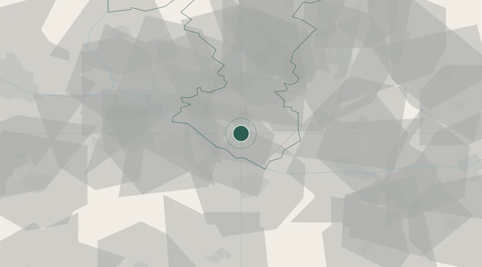
Hub Profile
Place type
Populated place
Region
Trnava Region
Population
2,835
Time zone
Europe/Bratislava
Elevation
114 m
Location
Nearby Logistics Neighbours
Cities
- 1Mad5 km
- 2Velke Blahovo8 km
- 3Cierny8 km
- 4Dolný Stál9 km
- 5Jahodna13 km
Ports
- 1Bakar376 km
- 2Rijeka Luka378 km
- 3Omisalj383 km
- 4Trieste389 km
- 5Senj389 km
Airports
- 1M. R. Štefánik Airport38 km
- 2Győr-Pér Airport39 km
- 3Malacky/Kuchyňa Air Base62 km
- 4Piešťany Airport77 km
- 5Vienna International Airport79 km
Trade Zones
- 1Veselí nad Moravou Industrial Zone113 km
- 2Göd Special Economic Zone121 km
- 3Černovická Terasa Industrial Zone152 km
- 4Holešov Industrial Zone153 km
- 5Mošnov Development Area197 km
DatabookThe Record of Consolidated Knowledge
Slovakia beyond logistics?