Transport Functions
Rail
Road
Hub Profile
Place type
Populated place
Region
Trnava Region
Time zone
Europe/Bratislava
Elevation
114 m
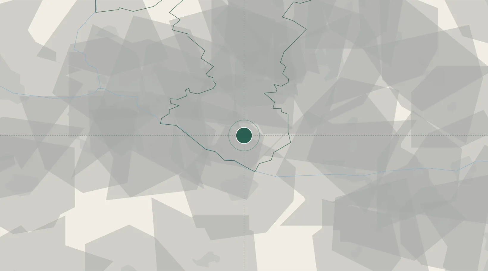
Location
Nearby Logistics Neighbours
Cities
- 1Dolný Stál4 km
- 2Vrakun5 km
- 3Cierny8 km
- 4Topolníky9 km
- 5Velke Blahovo10 km
Ports
- 1Bakar380 km
- 2Rijeka Luka382 km
- 3Omisalj386 km
- 4Senj392 km
- 5Trieste393 km
Airports
- 1Győr-Pér Airport37 km
- 2M. R. Štefánik Airport42 km
- 3Malacky/Kuchyňa Air Base65 km
- 4Piešťany Airport76 km
- 5Vienna International Airport84 km
Trade Zones
- 1Veselí nad Moravou Industrial Zone114 km
- 2Göd Special Economic Zone116 km
- 3Holešov Industrial Zone153 km
- 4Černovická Terasa Industrial Zone154 km
- 5Mošnov Development Area196 km
DatabookThe Record of Consolidated Knowledge
Slovakia beyond logistics?