Economic Revitalization Project · Czechia

Mošnov Development Area Active
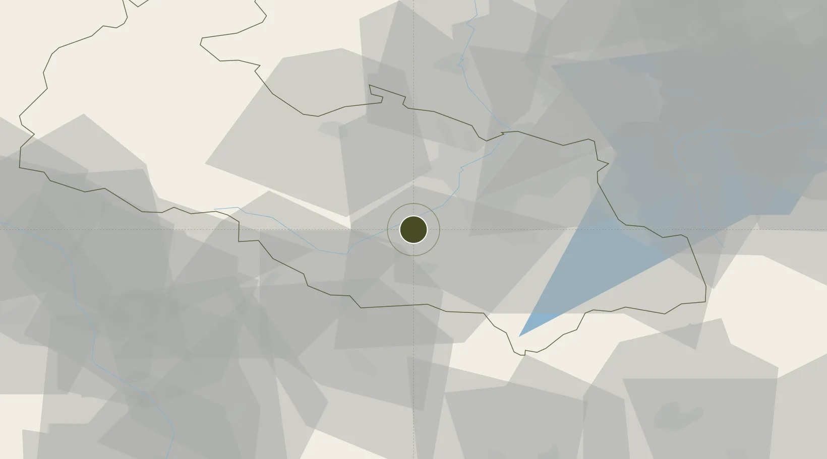
49.6887°, 18.1116°
200 ha
Zone area
482.0 km
Nearest port
0.8 km
Nearest airport

Gateway access

Nearest neighbours — logibook spatial index (haversine) over the source coordinates

Zone profile

Zone type
Economic Revitalization Project
Open Zone Map
Region
Moravskoslezský
Open Zone Map
Status
Active
Open Zone Map
Management
Public
Open Zone Map
Operator
Moravian- Silesian Regional Authority, Municipality of Ostrava
Open Zone Map
Legal framework
Act No 72/2000 Coll., on Investment Incentives
Open Zone Map

Location

Location of ozm-1739
Natural Earth 10m (public domain) · Moravskoslezský · ozm-1739 · 49.69, 18.11GoogleOSMYandex

Nearby Logistics Neighbours

Ports
  1. 1Szczecin482 km
  2. 2Police496 km
  3. 3Gdansk520 km
  4. 4Nowy Port527 km
  5. 5Kolobrzeg533 km
Nearest neighbours — logibook spatial index (haversine) over the source coordinates
Airports
  1. 1Leoš Janáček Airport Ostrava1 km
  2. 2Přerov Air Base59 km
  3. 3Žilina-Dolný Hričov Airport62 km
  4. 4Kunovice Airport88 km
  5. 5Katowice Wojciech Korfanty International Airport112 km
Nearest neighbours — logibook spatial index (haversine) over the source coordinates
Cities
  1. 1Mosnov1 km
  2. 2Bartosovice5 km
  3. 3Príbor5 km
  4. 4Koprivnice9 km
  5. 5Krmelin9 km
Nearest neighbours — logibook spatial index (haversine) over the source coordinates
Trade Zones
  1. 1Karvinská Specialized Economic Zone35 km
  2. 2Krnov - Červený Dvůr Municipal Industrial Zone50 km
  3. 3Holešov Industrial Zone58 km
  4. 4Bruntál Industrial Zone58 km
  5. 5Katowice SEZ (Katowicka SSE)80 km
Nearest neighbours — logibook spatial index (haversine) over the source coordinates
DatabookThe Record of Consolidated Knowledge
Czechia beyond logistics?
Browse databook

All Sources

Trade ZonesOpen Zone Map
CC BY
Portsthe NGA World Port Index
Public domain (US gov)
AirportsOurAirports
Public domain
LocationsUN/LOCODE
UN/LOCODE — free
← Czechia trade zones