Transport Functions
Road
Multimodal
Hub Profile
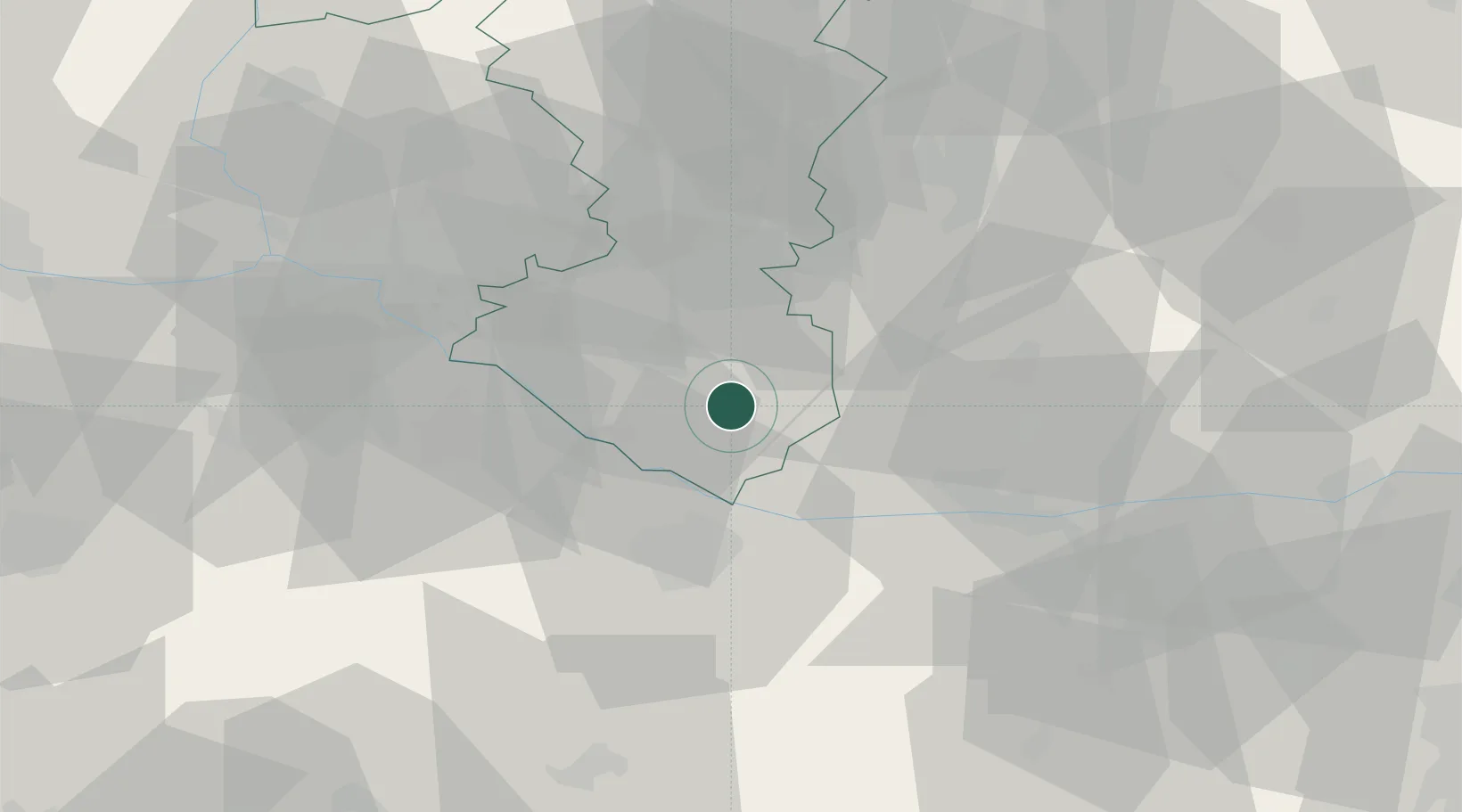
Place type
Populated place
Region
Trnava Region
Population
1,911
Time zone
Europe/Bratislava
Elevation
110 m
Location
Nearby Logistics Neighbours
Cities
- 1Mad4 km
- 2Topolníky6 km
- 3Cierny8 km
- 4Vrakun9 km
- 5Velky Meder10 km
Ports
- 1Bakar381 km
- 2Rijeka Luka383 km
- 3Omisalj387 km
- 4Senj393 km
- 5Trieste395 km
Airports
- 1Győr-Pér Airport35 km
- 2M. R. Štefánik Airport46 km
- 3Malacky/Kuchyňa Air Base68 km
- 4Piešťany Airport77 km
- 5Vienna International Airport88 km
Trade Zones
- 1Göd Special Economic Zone112 km
- 2Veselí nad Moravou Industrial Zone116 km
- 3Holešov Industrial Zone156 km
- 4Černovická Terasa Industrial Zone158 km
- 5Mošnov Development Area197 km
DatabookThe Record of Consolidated Knowledge
Slovakia beyond logistics?