Transport Functions
Multimodal
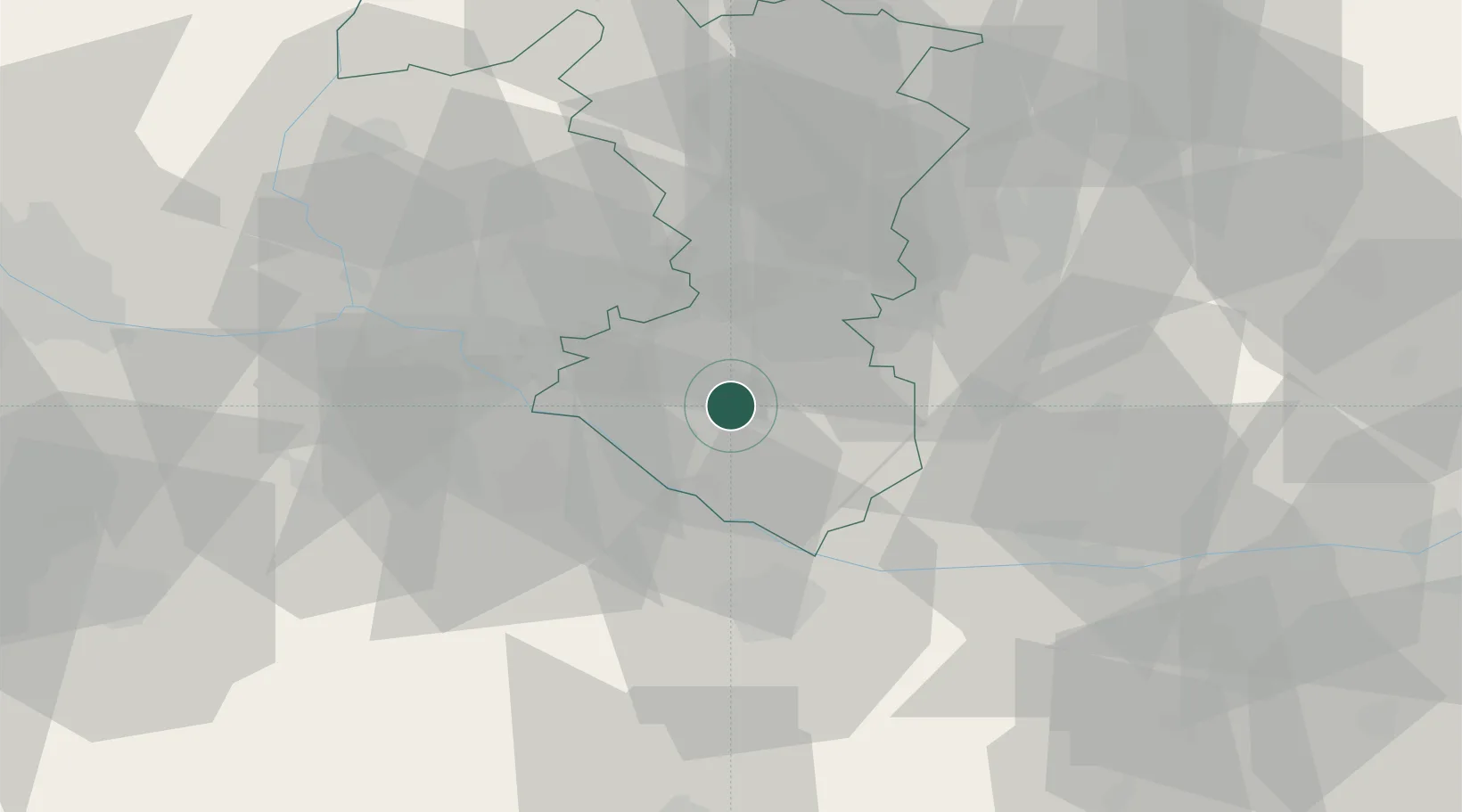
Hub Profile
Place type
Populated place
Region
Trnava Region
Population
1,593
Time zone
Europe/Bratislava
Elevation
115 m
Location
Nearby Logistics Neighbours
Cities
- 1Vrakun8 km
- 2Jahodna9 km
- 3Mad10 km
- 4Tomásikovo11 km
- 5Dolný Stál14 km
Ports
- 1Bakar381 km
- 2Rijeka Luka383 km
- 3Omisalj388 km
- 4Trieste393 km
- 5Monfalcone394 km
Airports
- 1M. R. Štefánik Airport32 km
- 2Győr-Pér Airport46 km
- 3Malacky/Kuchyňa Air Base55 km
- 4Piešťany Airport70 km
- 5Vienna International Airport76 km
Trade Zones
- 1Veselí nad Moravou Industrial Zone105 km
- 2Göd Special Economic Zone124 km
- 3Černovická Terasa Industrial Zone145 km
- 4Holešov Industrial Zone146 km
- 5Mošnov Development Area190 km
DatabookThe Record of Consolidated Knowledge
Slovakia beyond logistics?