UN/LOCODE hub · Slovakia
SKCIE

Cierny

47.8833°, 17.6333°
1
Transport functions

Transport Functions

Multimodal
UN/LOCODE

Hub Profile

Region
TA
GeoNames

Location

Location of SKCIE
Natural Earth 10m (public domain) · TA · SKCIE · 47.88, 17.63GoogleOSMYandex

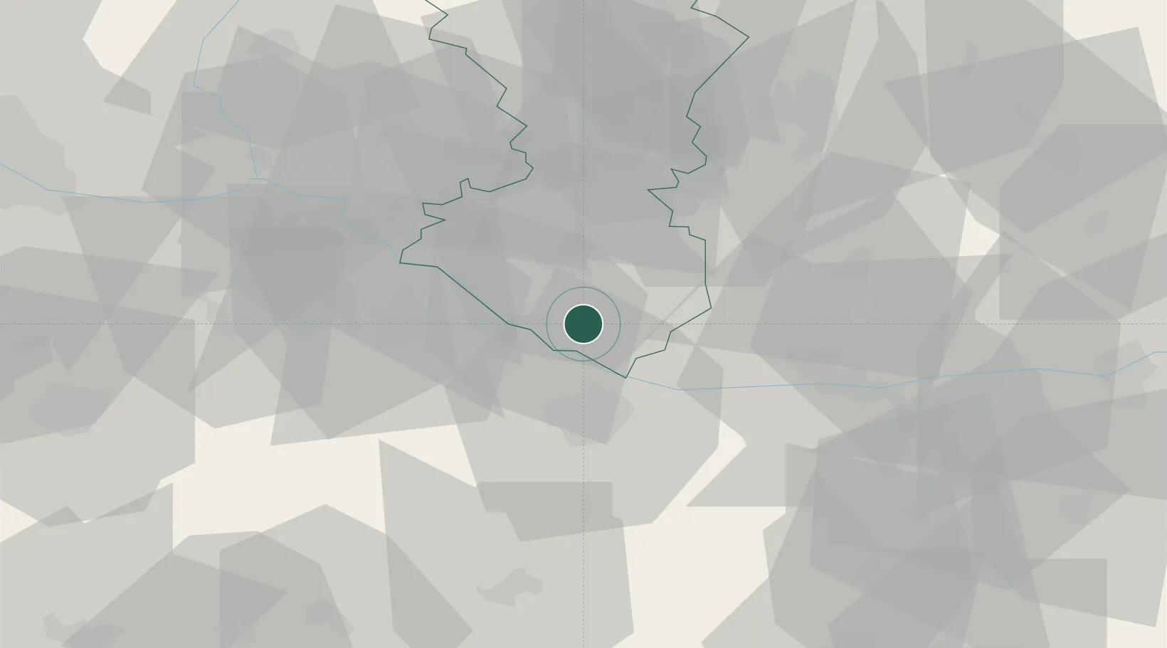
Nearby Logistics Neighbours

Cities
  1. 1Vrakun8 km
  2. 2Mad8 km
  3. 3Dolný Stál8 km
  4. 4Velky Meder11 km
  5. 5Topolníky15 km
Nearest neighbours — logibook spatial index (haversine) over the source coordinates
Ports
  1. 1Bakar372 km
  2. 2Rijeka Luka374 km
  3. 3Omisalj379 km
  4. 4Senj385 km
  5. 5Trieste386 km
Nearest neighbours — logibook spatial index (haversine) over the source coordinates
Airports
  1. 1Győr-Pér Airport31 km
  2. 2M. R. Štefánik Airport45 km
  3. 3Malacky/Kuchyňa Air Base69 km
  4. 4Vienna International Airport83 km
  5. 5Piešťany Airport84 km
Nearest neighbours — logibook spatial index (haversine) over the source coordinates
Trade Zones
  1. 1Göd Special Economic Zone117 km
  2. 2Veselí nad Moravou Industrial Zone121 km
  3. 3Černovická Terasa Industrial Zone160 km
  4. 4Holešov Industrial Zone161 km
  5. 5Sjever Free Zone202 km
Nearest neighbours — logibook spatial index (haversine) over the source coordinates
DatabookThe Record of Consolidated Knowledge
Slovakia beyond logistics?
Browse databook

All Sources

LocationsUN/LOCODE
UN/LOCODE — free
Portsthe NGA World Port Index
Public domain (US gov)
AirportsOurAirports
Public domain
Trade Zonesthe World Bank SEZ database
CC BY 4.0
Trade ZonesOpen Zone Map
CC BY
← Slovakia locations