Transport Functions
Multimodal
Hub Profile
Place type
Populated place
Region
Trnava Region
Time zone
Europe/Bratislava
Elevation
112 m
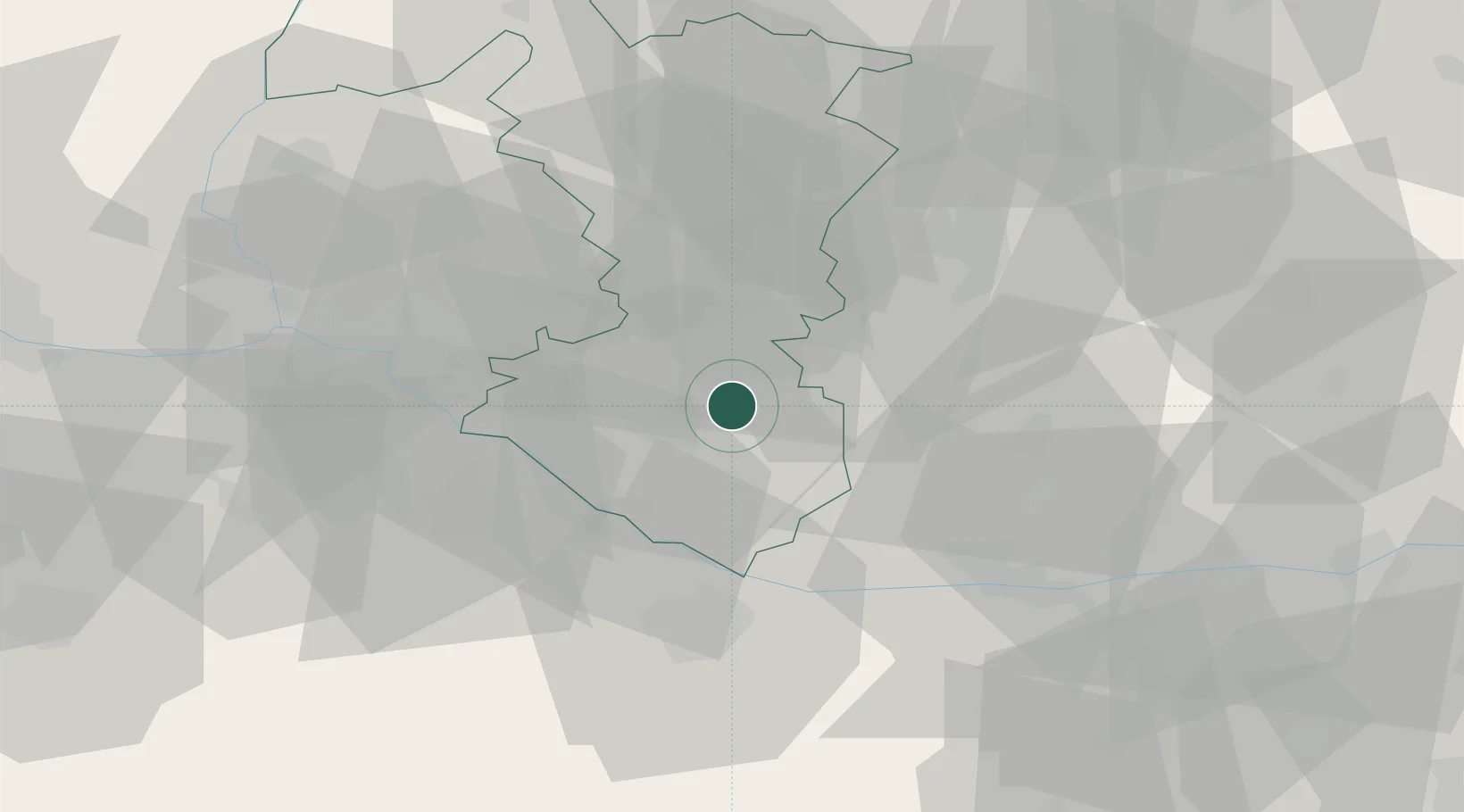
Location
Nearby Logistics Neighbours
Cities
- 1Tomásikovo4 km
- 2Velke Blahovo9 km
- 3Topolníky11 km
- 4Mad11 km
- 5Dolný Stál13 km
Ports
- 1Bakar390 km
- 2Rijeka Luka392 km
- 3Omisalj396 km
- 4Trieste402 km
- 5Senj403 km
Airports
- 1M. R. Štefánik Airport39 km
- 2Győr-Pér Airport48 km
- 3Malacky/Kuchyňa Air Base58 km
- 4Piešťany Airport65 km
- 5Vienna International Airport84 km
Trade Zones
- 1Veselí nad Moravou Industrial Zone103 km
- 2Göd Special Economic Zone117 km
- 3Holešov Industrial Zone143 km
- 4Černovická Terasa Industrial Zone146 km
- 5Mošnov Development Area185 km
DatabookThe Record of Consolidated Knowledge
Slovakia beyond logistics?