Medium airport · Slovakia

Piešťany AirportLZPP
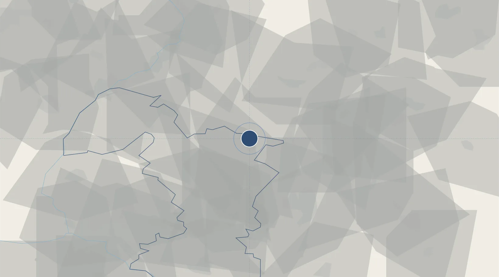
48.6252°, 17.8284°
6,562 ft
Longest runway
1
Runways
545 ft
Elevation

Runway & Layout

Piešťany Airport runway & taxiway layout
Runway & taxiway layout — OpenStreetMap (ODbL) / OurAirports

Radio Frequencies

TWR
118.575 MHz
OurAirports

Navaids

PNY NDB Centr 297 kHz
OurAirports

Runways · 1

RunwayDimensions SurfaceTrue headingLit
01/19 6,562 × 98ft Asphalt 014°
OurAirports

Airport Specifications

IATA code
PZY
OurAirports
ICAO code
LZPP
OurAirports
Airport class
Medium airport
OurAirports
Scheduled service
No
OurAirports
Runway surface
Asphalt
OurAirports
Served city
Piešťany
OurAirports

Location

Location of LZPP
Natural Earth 10m (public domain) · Trnavský · LZPP · 48.63, 17.83GoogleOSMYandex

Nearby Logistics Neighbours

Airports
  1. 1Kunovice Airport53 km
  2. 2Malacky/Kuchyňa Air Base58 km
  3. 3M. R. Štefánik Airport68 km
  4. 4Žilina-Dolný Hričov Airport89 km
  5. 5Přerov Air Base94 km
Nearest neighbours — logibook spatial index (haversine) over the source coordinates
Cities
  1. 1Velke Ripnany18 km
  2. 2Stará Turá20 km
  3. 3Brezova pod Bradlom22 km
  4. 4Bosáca23 km
  5. 5Hlohovec23 km
Nearest neighbours — logibook spatial index (haversine) over the source coordinates
Ports
  1. 1Bakar446 km
  2. 2Rijeka Luka448 km
  3. 3Monfalcone452 km
  4. 4Trieste452 km
  5. 5Omisalj453 km
Nearest neighbours — logibook spatial index (haversine) over the source coordinates
Trade Zones
  1. 1Veselí nad Moravou Industrial Zone49 km
  2. 2Holešov Industrial Zone81 km
  3. 3Černovická Terasa Industrial Zone104 km
  4. 4Mošnov Development Area120 km
  5. 5Göd Special Economic Zone145 km
Nearest neighbours — logibook spatial index (haversine) over the source coordinates
DatabookThe Record of Consolidated Knowledge
Slovakia beyond logistics?
Browse databook

All Sources

AirportsOurAirports
Public domain
Portsthe NGA World Port Index
Public domain (US gov)
LocationsUN/LOCODE
UN/LOCODE — free
Trade Zonesthe World Bank SEZ database
CC BY 4.0
Trade ZonesOpen Zone Map
CC BY
InfrastructureOpenStreetMap
ODbL 1.0
← Slovakia airports