UN/LOCODE hub · Slovakia
SKVHR

Vinohrady

48.1500°, 17.1000°
1
Transport functions

Transport Functions

Multimodal
UN/LOCODE

Hub Profile

Place type
Urban district
GeoNames
Region
Bratislava Region
GeoNames
Time zone
Europe/Bratislava
GeoNames
Elevation
189 m
GeoNames

Location

Location of SKVHR
Natural Earth 10m (public domain) · Bratislava Region · SKVHR · 48.15, 17.10GoogleOSMYandex

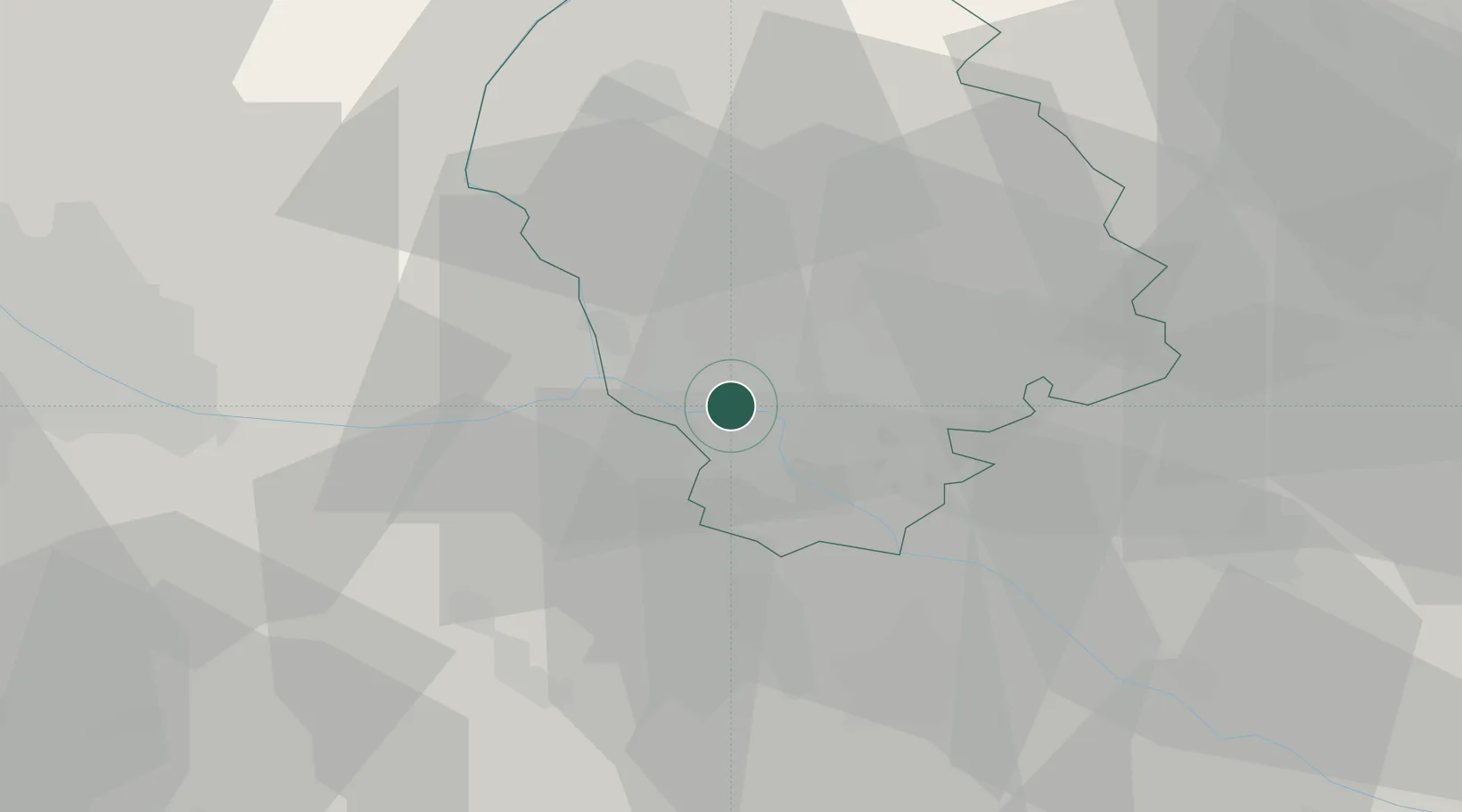
Nearby Logistics Neighbours

Cities
  1. 1Bratislava10 km
  2. 2Svaty Jur12 km
  3. 3Ivanka pri Dunaji13 km
  4. 4Chorvátsky Grob16 km
  5. 5Loimersdorf20 km
Nearest neighbours — logibook spatial index (haversine) over the source coordinates
Ports
  1. 1Bakar372 km
  2. 2Rijeka Luka373 km
  3. 3Monfalcone377 km
  4. 4Trieste377 km
  5. 5Omisalj380 km
Nearest neighbours — logibook spatial index (haversine) over the source coordinates
Airports
  1. 1M. R. Štefánik Airport9 km
  2. 2Malacky/Kuchyňa Air Base28 km
  3. 3Vienna International Airport40 km
  4. 4Wiener Neustadt East Airport71 km
  5. 5Wiener Neustadt West Airport74 km
Nearest neighbours — logibook spatial index (haversine) over the source coordinates
Trade Zones
  1. 1Veselí nad Moravou Industrial Zone92 km
  2. 2Černovická Terasa Industrial Zone118 km
  3. 3Holešov Industrial Zone135 km
  4. 4Göd Special Economic Zone163 km
  5. 5Mošnov Development Area186 km
Nearest neighbours — logibook spatial index (haversine) over the source coordinates
DatabookThe Record of Consolidated Knowledge
Slovakia beyond logistics?
Browse databook

All Sources

LocationsUN/LOCODE
UN/LOCODE — free
Portsthe NGA World Port Index
Public domain (US gov)
AirportsOurAirports
Public domain
Trade Zonesthe World Bank SEZ database
CC BY 4.0
Trade ZonesOpen Zone Map
CC BY
← Slovakia locations