Transport Functions
Multimodal
Hub Profile
Region
BL
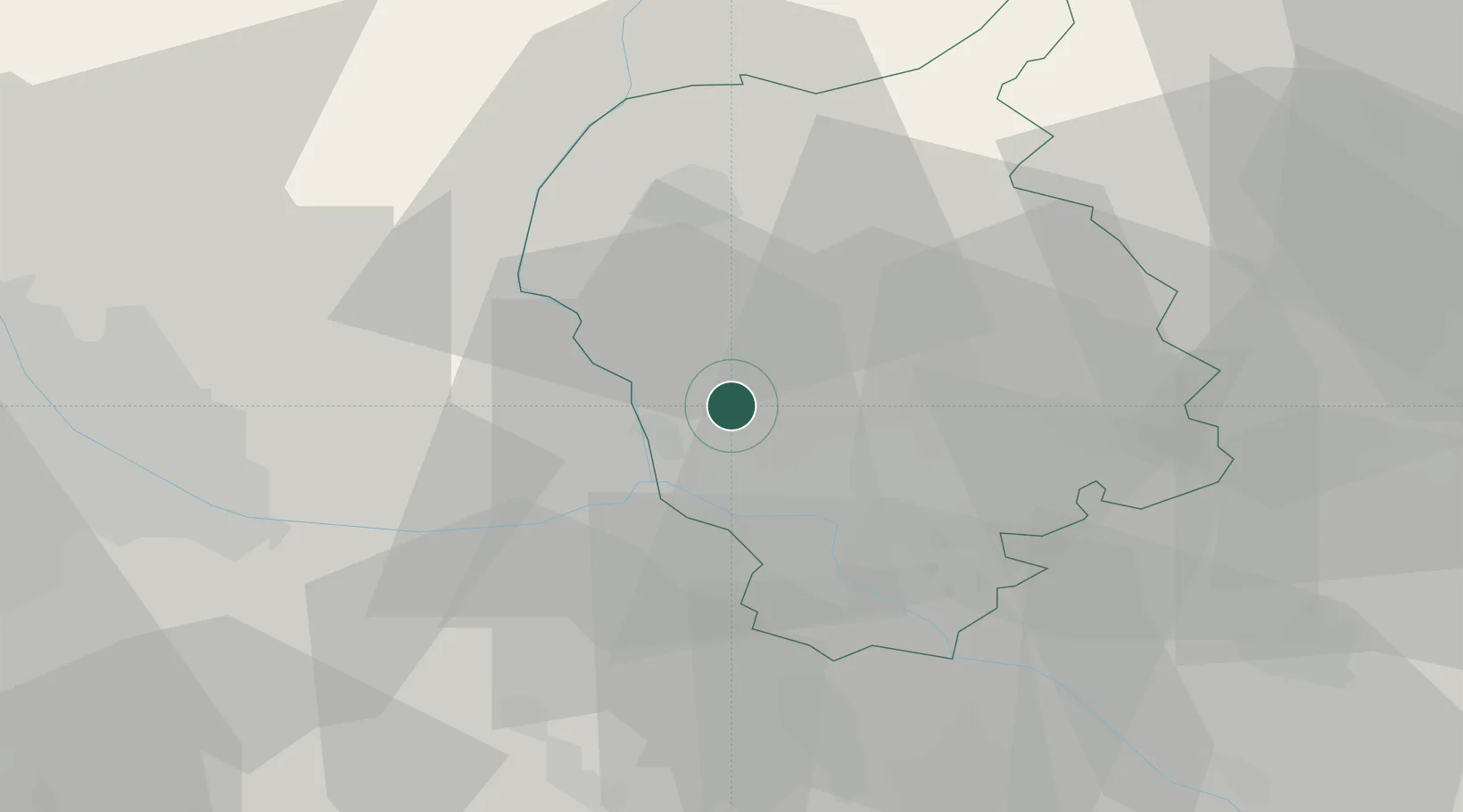
Location
Nearby Logistics Neighbours
Cities
- 1Zohor9 km
- 2Lozorno9 km
- 3Vinohrady12 km
- 4Chorvátsky Grob18 km
- 5Ivanka pri Dunaji18 km
Ports
- 1Bakar380 km
- 2Rijeka Luka381 km
- 3Monfalcone382 km
- 4Trieste383 km
- 5Muggia386 km
Airports
- 1M. R. Štefánik Airport15 km
- 2Malacky/Kuchyňa Air Base18 km
- 3Vienna International Airport39 km
- 4Piešťany Airport71 km
- 5Wiener Neustadt East Airport74 km
Trade Zones
DatabookThe Record of Consolidated Knowledge
Slovakia beyond logistics?