Transport Functions
Rail
Road
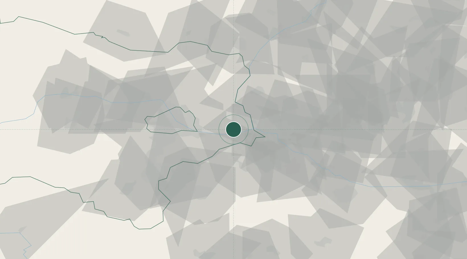
Hub Profile
Place type
Populated place
Region
Lower Austria
Population
482
Time zone
Europe/Vienna
Elevation
140 m
Location
Nearby Logistics Neighbours
Ports
- 1Monfalcone364 km
- 2Bakar364 km
- 3Rijeka Luka364 km
- 4Trieste365 km
- 5Muggia368 km
Airports
Trade Zones
DatabookThe Record of Consolidated Knowledge
Austria beyond logistics?