Transport Functions
Rail
Road
Airport
Postal
Hub Profile
Place type
National capital
Region
Bratislava Region
Population
423,737
Time zone
Europe/Bratislava
Elevation
157 m
Logistics facilities
8
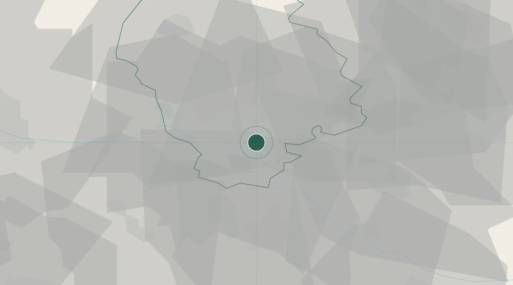
Location
Nearby Logistics Neighbours
Cities
- 1Ivanka pri Dunaji6 km
- 2Vinohrady10 km
- 3Chorvátsky Grob10 km
- 4Samorin13 km
- 5Kvetoslavov13 km
Ports
- 1Bakar376 km
- 2Rijeka Luka377 km
- 3Trieste382 km
- 4Monfalcone382 km
- 5Omisalj383 km
Airports
- 1M. R. Štefánik Airport5 km
- 2Malacky/Kuchyňa Air Base31 km
- 3Vienna International Airport49 km
- 4Győr-Pér Airport70 km
- 5Piešťany Airport71 km
Trade Zones
DatabookThe Record of Consolidated Knowledge
Slovakia beyond logistics?