UN/LOCODE hub · Slovakia
SKIVA
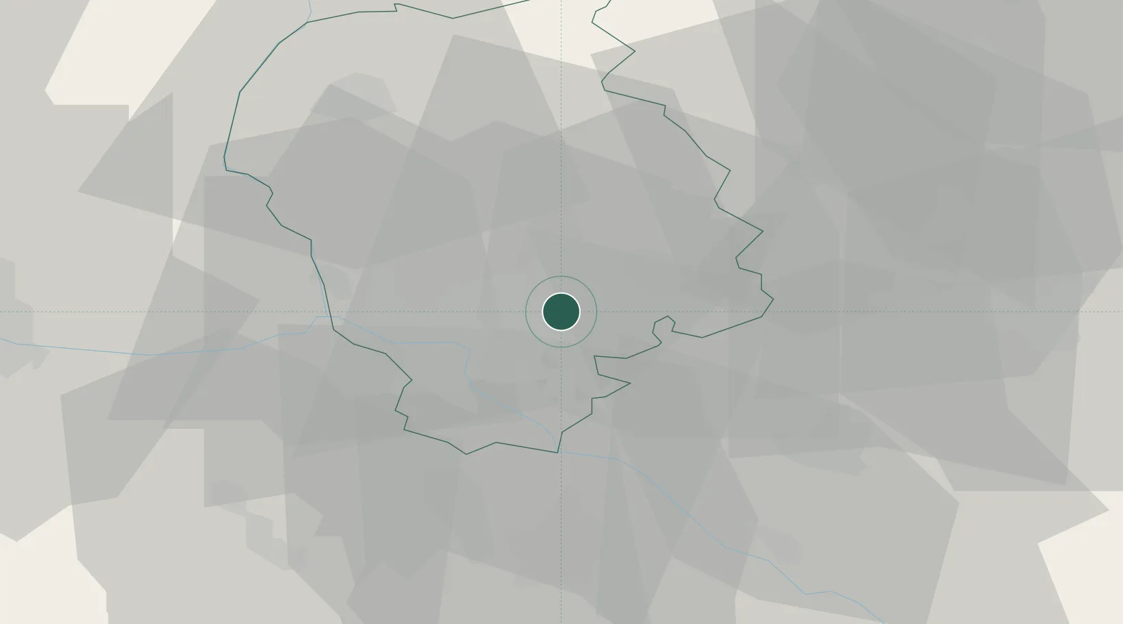
Ivanka pri Dunaji
48.1833°, 17.2667°
7,175
Population
1
Transport functions
Transport Functions
Multimodal
Hub Profile
Place type
Populated place
Region
Bratislava Region
Population
7,175
Time zone
Europe/Bratislava
Elevation
132 m
Location
Nearby Logistics Neighbours
Cities
- 1Chorvátsky Grob4 km
- 2Bratislava6 km
- 3Senec11 km
- 4Vinohrady13 km
- 5Zlate Klasy13 km
Ports
- 1Bakar382 km
- 2Rijeka Luka383 km
- 3Monfalcone388 km
- 4Trieste388 km
- 5Omisalj390 km
Airports
- 1M. R. Štefánik Airport4 km
- 2Malacky/Kuchyňa Air Base27 km
- 3Vienna International Airport52 km
- 4Piešťany Airport64 km
- 5Győr-Pér Airport74 km
Trade Zones
DatabookThe Record of Consolidated Knowledge
Slovakia beyond logistics?