Transport Functions
Road
Multimodal
Hub Profile
Place type
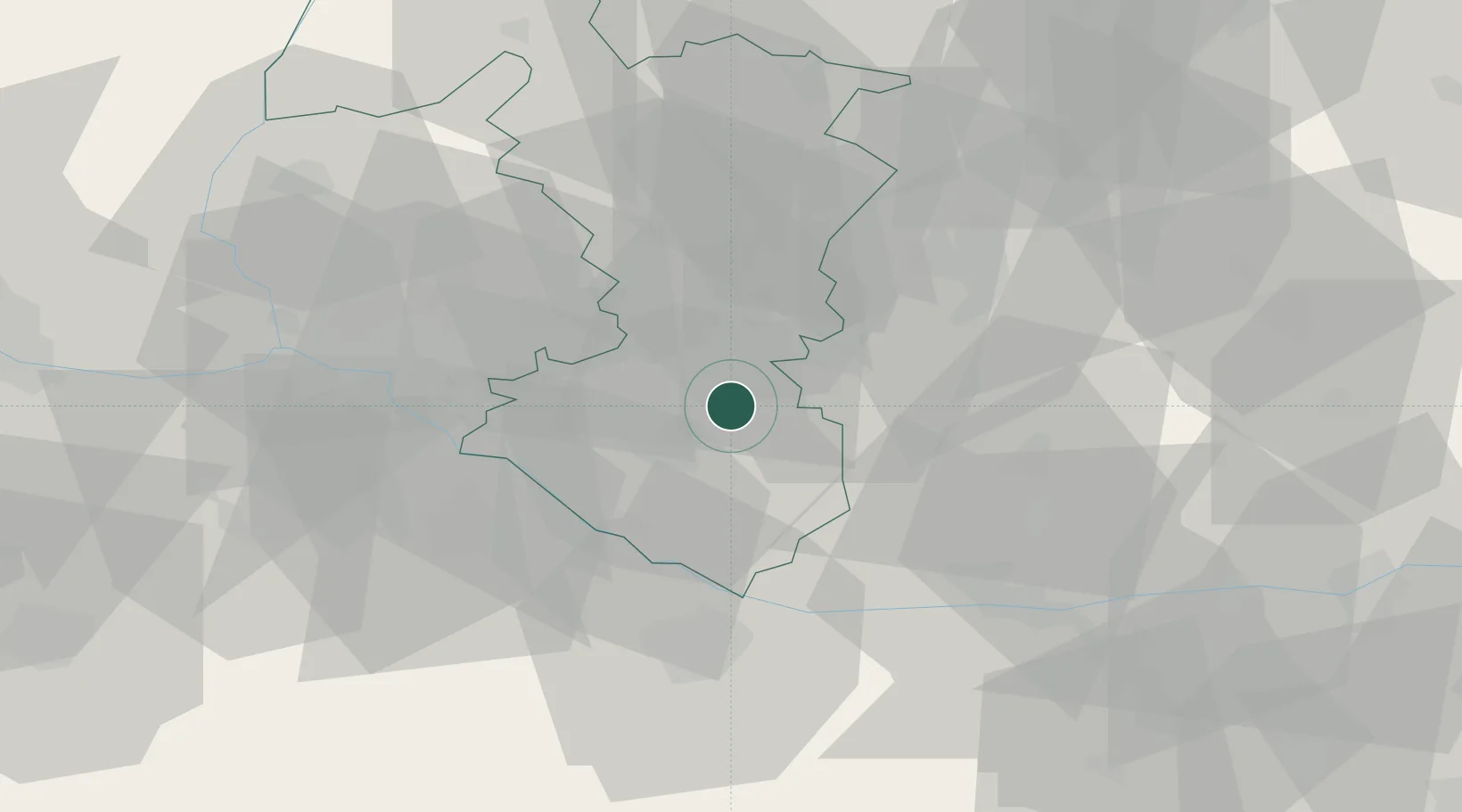
Populated place
Region
Trnava Region
Time zone
Europe/Bratislava
Elevation
114 m
Location
Nearby Logistics Neighbours
Cities
- 1Jahodna4 km
- 2Velke Blahovo11 km
- 3Galanta13 km
- 4Sládkovicovo14 km
- 5Topolníky14 km
Ports
- 1Bakar393 km
- 2Rijeka Luka394 km
- 3Omisalj399 km
- 4Trieste404 km
- 5Monfalcone406 km
Airports
- 1M. R. Štefánik Airport37 km
- 2Győr-Pér Airport51 km
- 3Malacky/Kuchyňa Air Base56 km
- 4Piešťany Airport61 km
- 5Vienna International Airport84 km
Trade Zones
- 1Veselí nad Moravou Industrial Zone100 km
- 2Göd Special Economic Zone118 km
- 3Holešov Industrial Zone139 km
- 4Černovická Terasa Industrial Zone143 km
- 5Mošnov Development Area181 km
DatabookThe Record of Consolidated Knowledge
Slovakia beyond logistics?