Transport Functions
Port
Rail
Road
Hub Profile
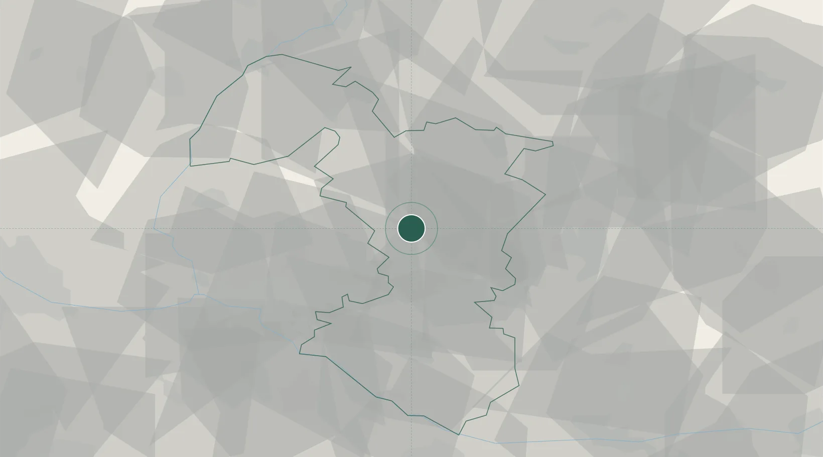
Place type
Regional capital
Region
Trnava Region
Population
62,806
Time zone
Europe/Bratislava
Elevation
147 m
Location
Nearby Logistics Neighbours
Cities
- 1Hrnciarovce nad Parnou2 km
- 2Zvoncín7 km
- 3Krízovany nad Dudváhom7 km
- 4Voderady9 km
- 5Boleráz11 km
Ports
- 1Bakar412 km
- 2Rijeka Luka414 km
- 3Monfalcone419 km
- 4Trieste419 km
- 5Omisalj420 km
Airports
- 1Piešťany Airport34 km
- 2Malacky/Kuchyňa Air Base35 km
- 3M. R. Štefánik Airport35 km
- 4Kunovice Airport74 km
- 5Vienna International Airport80 km
Trade Zones
DatabookThe Record of Consolidated Knowledge
Slovakia beyond logistics?