Transport Functions
Rail
Road
Hub Profile
Place type
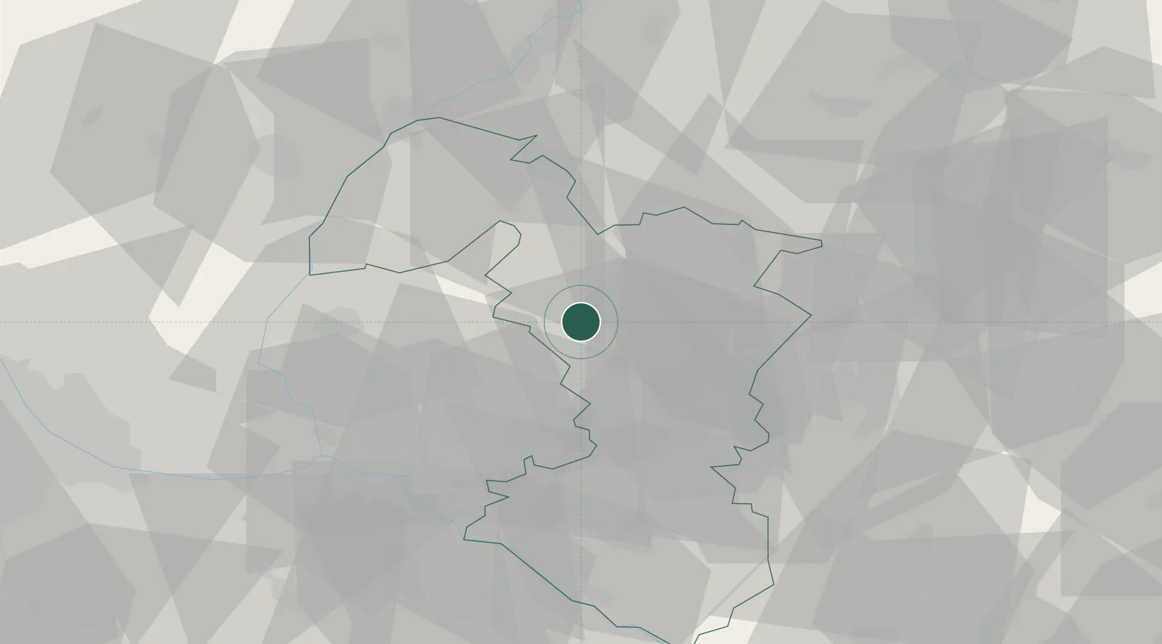
Populated place
Region
Trnava Region
Population
2,349
Time zone
Europe/Bratislava
Elevation
172 m
Location
Nearby Logistics Neighbours
Cities
- 1Zvoncín6 km
- 2Trnava11 km
- 3Hrnciarovce nad Parnou12 km
- 4Jablonica18 km
- 5Krízovany nad Dudváhom18 km
Ports
- 1Bakar417 km
- 2Rijeka Luka418 km
- 3Monfalcone421 km
- 4Trieste422 km
- 5Omisalj424 km
Airports
- 1Malacky/Kuchyňa Air Base29 km
- 2Piešťany Airport31 km
- 3M. R. Štefánik Airport38 km
- 4Kunovice Airport65 km
- 5Vienna International Airport79 km
Trade Zones
DatabookThe Record of Consolidated Knowledge
Slovakia beyond logistics?