Transport Functions
Rail
Road
Multimodal
Hub Profile
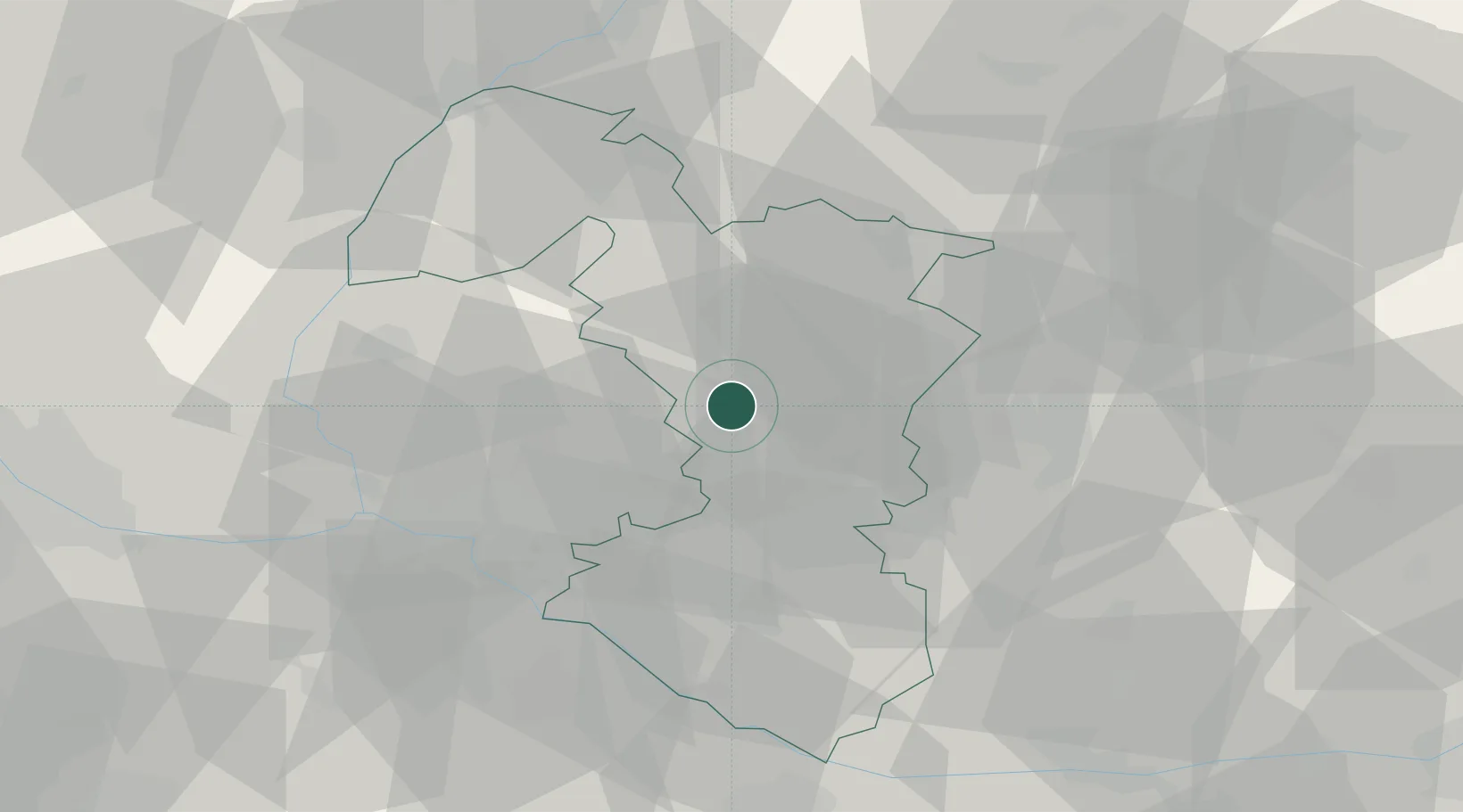
Place type
Populated place
Region
Trnava Region
Time zone
Europe/Bratislava
Elevation
143 m
Location
Nearby Logistics Neighbours
Cities
- 1Trnava2 km
- 2Voderady7 km
- 3Zvoncín7 km
- 4Krízovany nad Dudváhom8 km
- 5Boleráz12 km
Ports
- 1Bakar410 km
- 2Rijeka Luka411 km
- 3Monfalcone417 km
- 4Trieste417 km
- 5Omisalj417 km
Airports
- 1M. R. Štefánik Airport33 km
- 2Malacky/Kuchyňa Air Base34 km
- 3Piešťany Airport36 km
- 4Kunovice Airport76 km
- 5Vienna International Airport79 km
Trade Zones
DatabookThe Record of Consolidated Knowledge
Slovakia beyond logistics?