Transport Functions
Multimodal
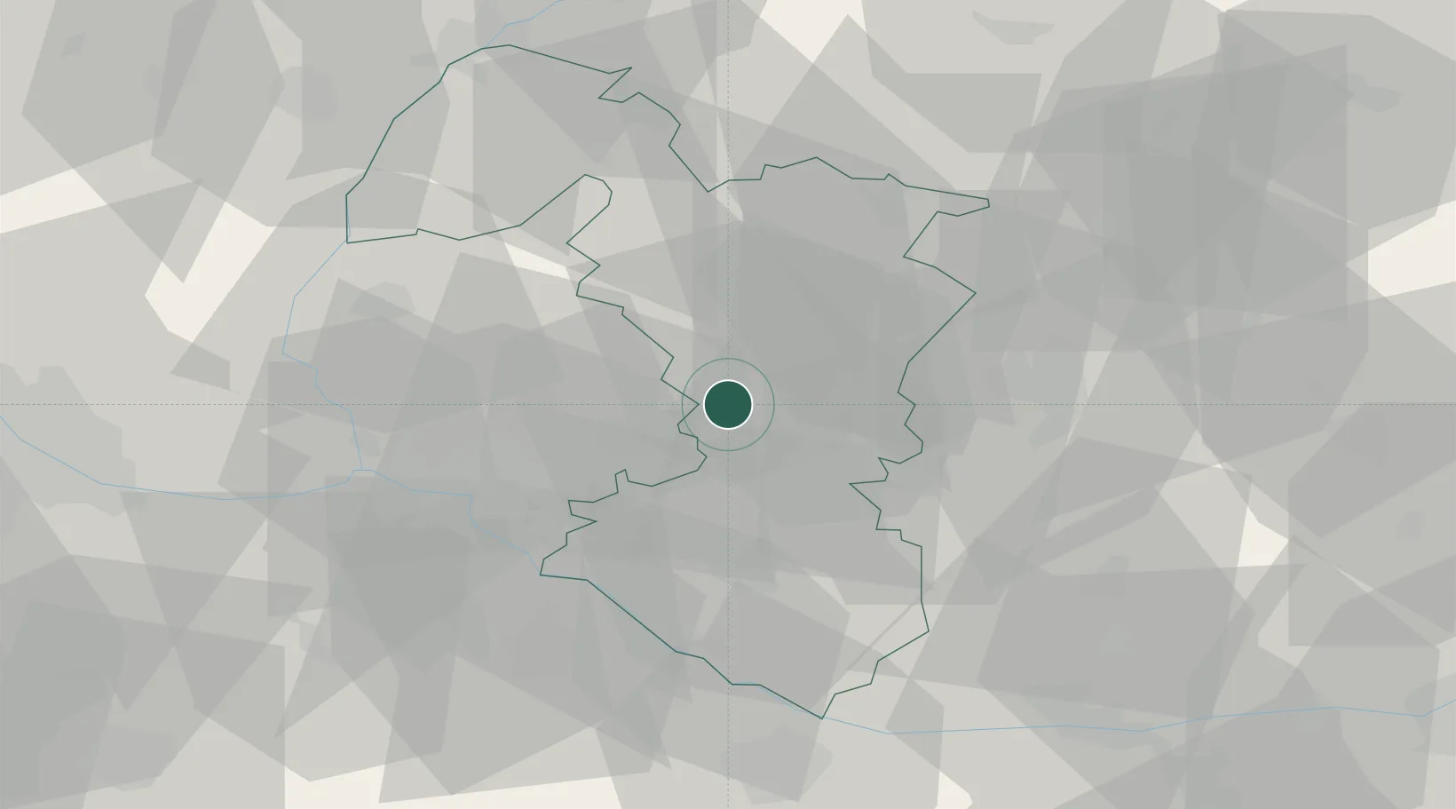
Hub Profile
Place type
Populated place
Region
Trnava Region
Population
1,661
Time zone
Europe/Bratislava
Elevation
131 m
Location
Nearby Logistics Neighbours
Cities
- 1Hrnciarovce nad Parnou7 km
- 2Krízovany nad Dudváhom9 km
- 3Trnava9 km
- 4Sládkovicovo11 km
- 5Dolna Streda14 km
Ports
- 1Bakar404 km
- 2Rijeka Luka406 km
- 3Omisalj411 km
- 4Trieste412 km
- 5Monfalcone412 km
Airports
- 1M. R. Štefánik Airport29 km
- 2Malacky/Kuchyňa Air Base36 km
- 3Piešťany Airport43 km
- 4Győr-Pér Airport75 km
- 5Vienna International Airport76 km
Trade Zones
DatabookThe Record of Consolidated Knowledge
Slovakia beyond logistics?