Medium airport · Czechia
Kunovice AirportLKKU
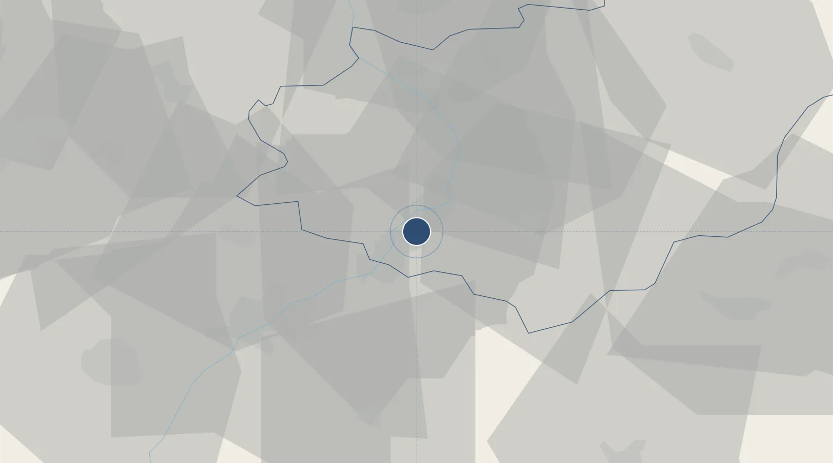
49.0294°, 17.4397°
6,562 ft
Longest runway
3
Runways
581 ft
Elevation
Runway & Layout

Radio Frequencies
TWR
120.105 MHz
AFIS
120.105 MHz
INFO
Navaids
KNE NDB Kunovice 434 kHz
KUN NDB Kunovice 416 kHz
Runways · 3
| Runway | Dimensions | Surface | True heading | Lit |
|---|---|---|---|---|
| 02C/20C | 6,562 × 98ft | Concrete | 025° | ✓ |
| 02R/20L | 5,544 × 197ft | Grass | 025° | — |
| 02L/20R | 4,855 × 262ft | Grass | 025° | — |
Airport Specifications
IATA code
UHE
ICAO code
LKKU
Airport class
Medium airport
Scheduled service
No
Runway surface
Concrete
Served city
Uherské Hradiště
Location
Nearby Logistics Neighbours
Airports
- 1Přerov Air Base44 km
- 2Piešťany Airport53 km
- 3Brno-Tuřany Airport56 km
- 4Malacky/Kuchyňa Air Base74 km
- 5Žilina-Dolný Hričov Airport88 km
Cities
- 1Ostrozská Nová Ves2 km
- 2Kunovice3 km
- 3Nedakonice4 km
- 4Uherské Hradiste4 km
- 5Stare Mesto u Uherskeho Hradiste6 km
Ports
- 1Monfalcone465 km
- 2Trieste467 km
- 3Bakar469 km
- 4Rijeka Luka470 km
- 5Muggia471 km
Trade Zones
DatabookThe Record of Consolidated Knowledge
Czechia beyond logistics?