UN/LOCODE hub · Slovakia
SKKDV

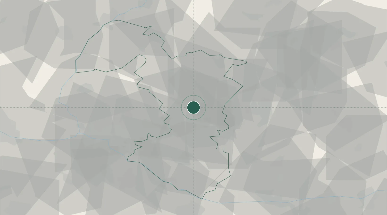
Krízovany nad Dudváhom

48.3333°, 17.6667°
1,797
Population
2
Transport functions

Transport Functions

Road
Multimodal
UN/LOCODE

Hub Profile

Place type
Populated place
GeoNames
Region
Trnava Region
GeoNames
Population
1,797
GeoNames
Time zone
Europe/Bratislava
GeoNames
Elevation
129 m
GeoNames

Location

Location of SKKDV
Natural Earth 10m (public domain) · Trnava Region · SKKDV · 48.33, 17.67GoogleOSMYandex

Nearby Logistics Neighbours

Cities
  1. 1Siladice7 km
  2. 2Trnava7 km
  3. 3Hrnciarovce nad Parnou8 km
  4. 4Voderady9 km
  5. 5Dolna Streda10 km
Nearest neighbours — logibook spatial index (haversine) over the source coordinates
Ports
  1. 1Bakar413 km
  2. 2Rijeka Luka414 km
  3. 3Omisalj420 km
  4. 4Trieste421 km
  5. 5Monfalcone421 km
Nearest neighbours — logibook spatial index (haversine) over the source coordinates
Airports
  1. 1Piešťany Airport35 km
  2. 2M. R. Štefánik Airport38 km
  3. 3Malacky/Kuchyňa Air Base41 km
  4. 4Győr-Pér Airport79 km
  5. 5Kunovice Airport79 km
Nearest neighbours — logibook spatial index (haversine) over the source coordinates
Trade Zones
  1. 1Veselí nad Moravou Industrial Zone72 km
  2. 2Holešov Industrial Zone111 km
  3. 3Černovická Terasa Industrial Zone118 km
  4. 4Göd Special Economic Zone133 km
  5. 5Mošnov Development Area154 km
Nearest neighbours — logibook spatial index (haversine) over the source coordinates
DatabookThe Record of Consolidated Knowledge
Slovakia beyond logistics?
Browse databook

All Sources

LocationsUN/LOCODE
UN/LOCODE — free
LocationsGeoNames
CC BY 4.0
Portsthe NGA World Port Index
Public domain (US gov)
AirportsOurAirports
Public domain
Trade Zonesthe World Bank SEZ database
CC BY 4.0
Trade ZonesOpen Zone Map
CC BY
← Slovakia locations