Transport Functions
Multimodal
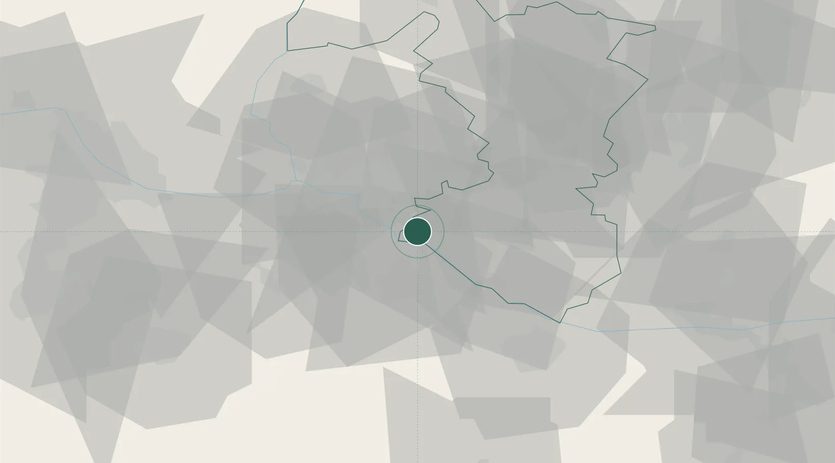
Hub Profile
Place type
Populated place
Region
Trnava Region
Population
13,566
Time zone
Europe/Bratislava
Elevation
125 m
Location
Nearby Logistics Neighbours
Cities
- 1Kvetoslavov3 km
- 2Zlate Klasy12 km
- 3Bratislava13 km
- 4Ivanka pri Dunaji17 km
- 5Dunaremete19 km
Ports
- 1Bakar371 km
- 2Rijeka Luka372 km
- 3Omisalj378 km
- 4Trieste379 km
- 5Monfalcone380 km
Airports
- 1M. R. Štefánik Airport17 km
- 2Malacky/Kuchyňa Air Base44 km
- 3Vienna International Airport56 km
- 4Győr-Pér Airport58 km
- 5Piešťany Airport76 km
Trade Zones
- 1Veselí nad Moravou Industrial Zone103 km
- 2Černovická Terasa Industrial Zone135 km
- 3Göd Special Economic Zone144 km
- 4Holešov Industrial Zone145 km
- 5Mošnov Development Area193 km
DatabookThe Record of Consolidated Knowledge
Slovakia beyond logistics?