Transport Functions
Port
Multimodal
Hub Profile
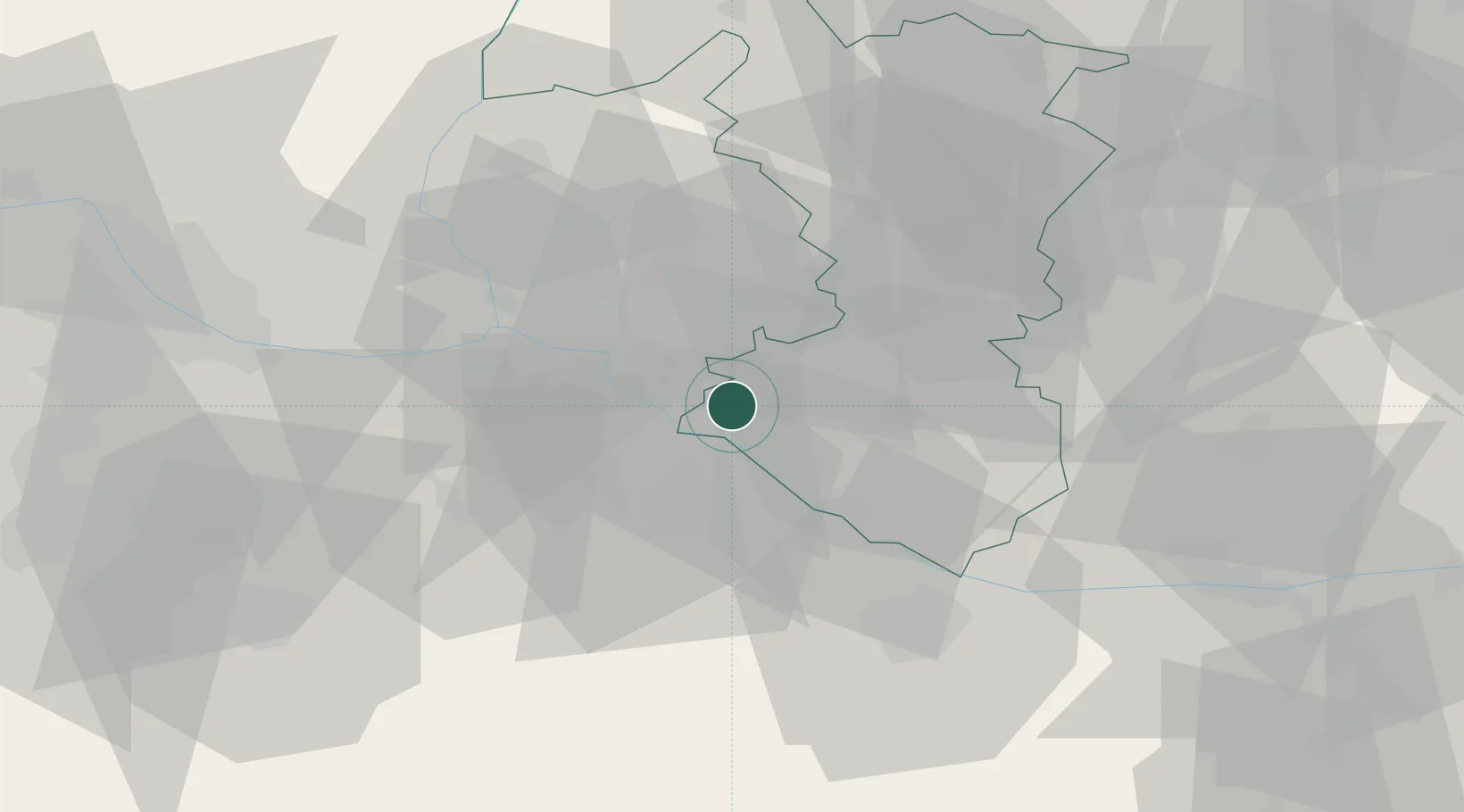
Place type
Populated place
Region
Trnava Region
Population
1,823
Time zone
Europe/Bratislava
Elevation
123 m
Location
Nearby Logistics Neighbours
Cities
- 1Samorin3 km
- 2Zlate Klasy9 km
- 3Bratislava13 km
- 4Ivanka pri Dunaji16 km
- 5Velke Blahovo18 km
Ports
- 1Bakar374 km
- 2Rijeka Luka375 km
- 3Omisalj381 km
- 4Trieste382 km
- 5Monfalcone383 km
Airports
- 1M. R. Štefánik Airport17 km
- 2Malacky/Kuchyňa Air Base43 km
- 3Győr-Pér Airport58 km
- 4Vienna International Airport58 km
- 5Piešťany Airport73 km
Trade Zones
- 1Veselí nad Moravou Industrial Zone101 km
- 2Černovická Terasa Industrial Zone134 km
- 3Göd Special Economic Zone142 km
- 4Holešov Industrial Zone143 km
- 5Mošnov Development Area191 km
DatabookThe Record of Consolidated Knowledge
Slovakia beyond logistics?