Transport Functions
Port
Road
Hub Profile
Place type
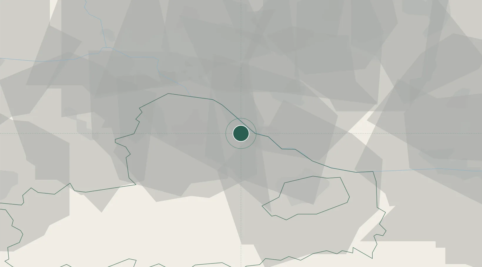
Populated place
Region
Győr-Moson-Sopron
Population
246
Time zone
Europe/Budapest
Elevation
115 m
Location
Nearby Logistics Neighbours
Cities
- 1Vrakun15 km
- 2Cierny15 km
- 3Velke Blahovo19 km
- 4Samorin19 km
- 5Mad19 km
Ports
- 1Bakar363 km
- 2Rijeka Luka365 km
- 3Omisalj370 km
- 4Trieste375 km
- 5Senj376 km
Airports
- 1M. R. Štefánik Airport36 km
- 2Győr-Pér Airport40 km
- 3Malacky/Kuchyňa Air Base62 km
- 4Vienna International Airport69 km
- 5Piešťany Airport88 km
Trade Zones
- 1Veselí nad Moravou Industrial Zone119 km
- 2Göd Special Economic Zone132 km
- 3Černovická Terasa Industrial Zone154 km
- 4Holešov Industrial Zone161 km
- 5Sjever Free Zone196 km
DatabookThe Record of Consolidated Knowledge
Hungary beyond logistics?