Transport Functions
Port
Multimodal
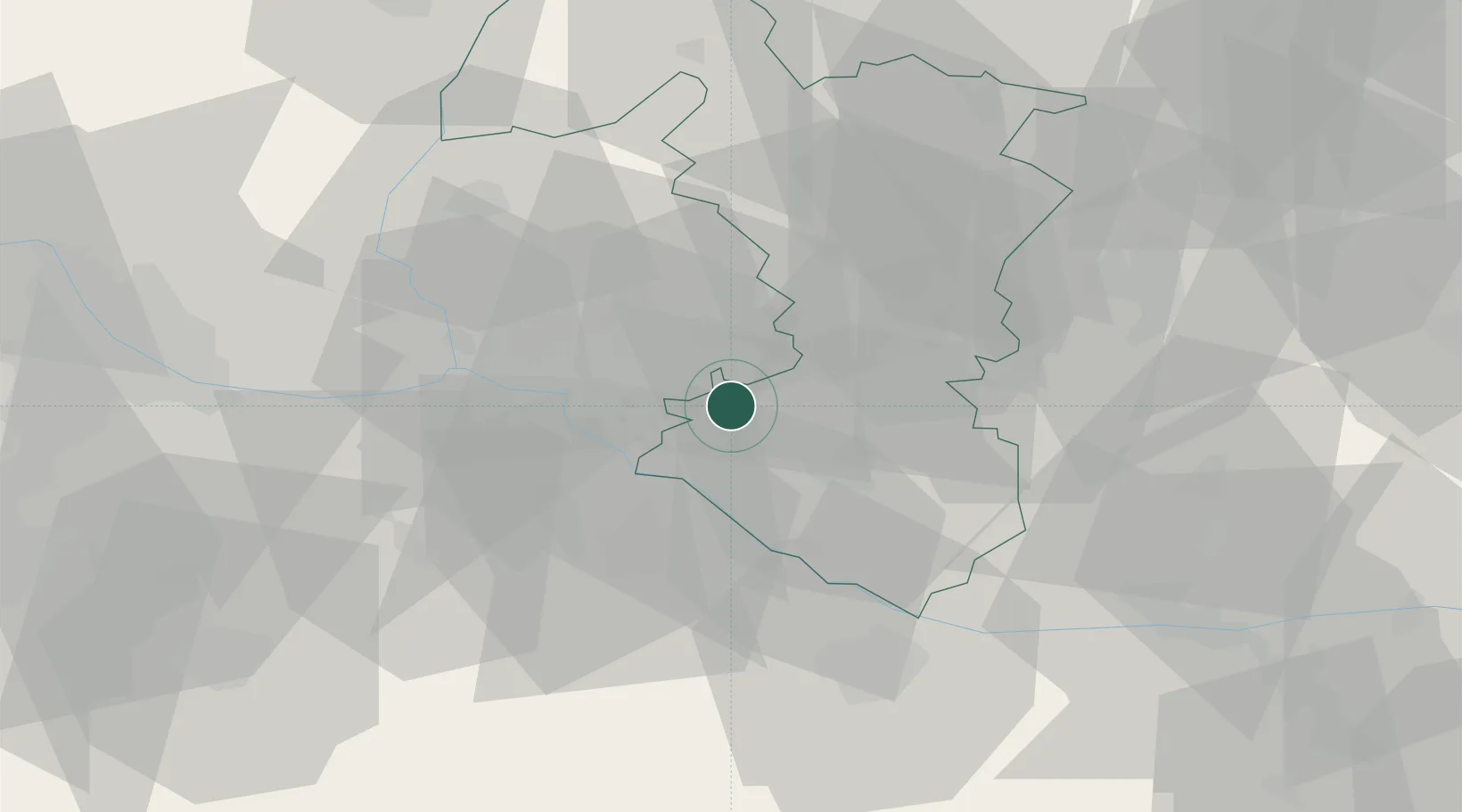
Location
Nearby Logistics Neighbours
Cities
- 1Kvetoslavov9 km
- 2Senec11 km
- 3Samorin12 km
- 4Ivanka pri Dunaji13 km
- 5Bratislava14 km
Ports
- 1Bakar383 km
- 2Rijeka Luka384 km
- 3Omisalj390 km
- 4Trieste391 km
- 5Monfalcone392 km
Airports
- 1M. R. Štefánik Airport16 km
- 2Malacky/Kuchyňa Air Base39 km
- 3Győr-Pér Airport62 km
- 4Vienna International Airport63 km
- 5Piešťany Airport64 km
Trade Zones
DatabookThe Record of Consolidated Knowledge
Hungary beyond logistics?