Transport Functions
Multimodal
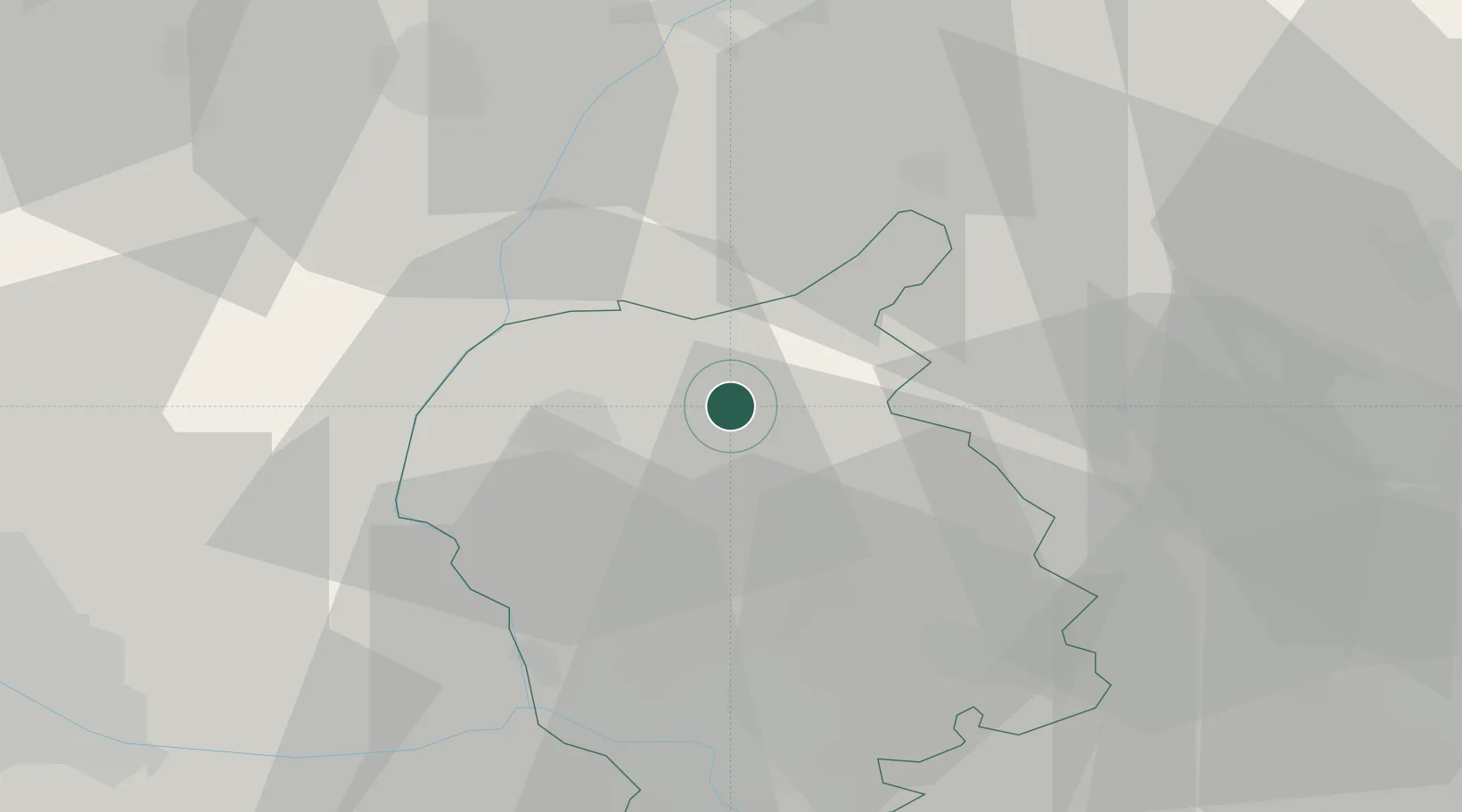
Hub Profile
Place type
Populated place
Region
Bratislava Region
Population
3,594
Time zone
Europe/Bratislava
Elevation
198 m
Location
Nearby Logistics Neighbours
Cities
- 1Malacky12 km
- 2Malé Leváre15 km
- 3Lozorno17 km
- 4Modra19 km
- 5Zohor22 km
Ports
- 1Monfalcone405 km
- 2Bakar405 km
- 3Rijeka Luka406 km
- 4Trieste406 km
- 5Muggia410 km
Airports
- 1Malacky/Kuchyňa Air Base8 km
- 2M. R. Štefánik Airport33 km
- 3Piešťany Airport52 km
- 4Vienna International Airport59 km
- 5Kunovice Airport66 km
Trade Zones
DatabookThe Record of Consolidated Knowledge
Slovakia beyond logistics?