Transport Functions
Rail
Road
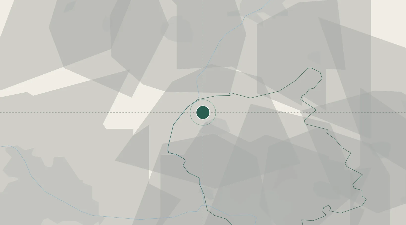
Hub Profile
Place type
Populated place
Region
Bratislava Region
Population
1,472
Time zone
Europe/Bratislava
Elevation
149 m
Location
Nearby Logistics Neighbours
Cities
- 1Malacky8 km
- 2Dürnkrut9 km
- 3Rohoznik15 km
- 4Dobermannsdorf16 km
- 5Loidesthal16 km
Ports
- 1Monfalcone397 km
- 2Trieste400 km
- 3Bakar401 km
- 4Rijeka Luka401 km
- 5Muggia403 km
Airports
- 1Malacky/Kuchyňa Air Base16 km
- 2M. R. Štefánik Airport41 km
- 3Vienna International Airport52 km
- 4Piešťany Airport65 km
- 5Kunovice Airport68 km
Trade Zones
DatabookThe Record of Consolidated Knowledge
Slovakia beyond logistics?