Transport Functions
Port
Multimodal
Hub Profile
Place type
Populated place
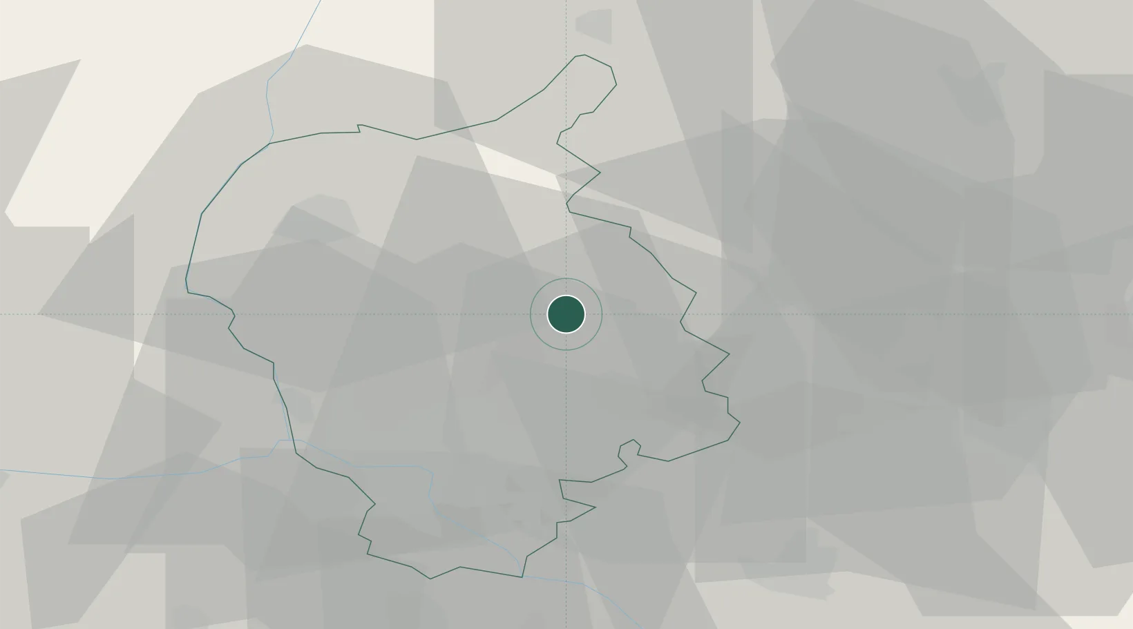
Region
Bratislava Region
Population
9,237
Time zone
Europe/Bratislava
Elevation
173 m
Location
Nearby Logistics Neighbours
Cities
- 1Chorvátsky Grob13 km
- 2Senec14 km
- 3Zvoncín15 km
- 4Ivanka pri Dunaji17 km
- 5Rohoznik19 km
Ports
- 1Bakar398 km
- 2Rijeka Luka399 km
- 3Monfalcone402 km
- 4Trieste403 km
- 5Omisalj406 km
Airports
- 1Malacky/Kuchyňa Air Base17 km
- 2M. R. Štefánik Airport20 km
- 3Piešťany Airport50 km
- 4Vienna International Airport61 km
- 5Kunovice Airport78 km
Trade Zones
DatabookThe Record of Consolidated Knowledge
Slovakia beyond logistics?