Transport Functions
Rail
Road
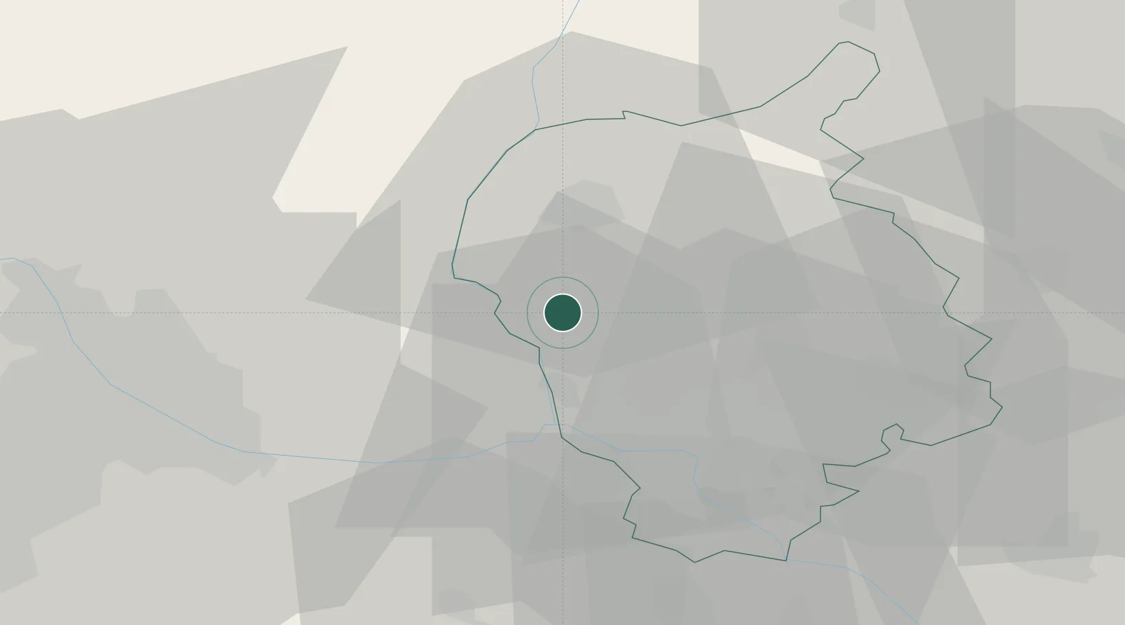
Hub Profile
Place type
Populated place
Region
Bratislava Region
Population
3,573
Time zone
Europe/Bratislava
Elevation
144 m
Location
Nearby Logistics Neighbours
Ports
- 1Monfalcone383 km
- 2Bakar384 km
- 3Rijeka Luka384 km
- 4Trieste385 km
- 5Muggia388 km
Airports
- 1Malacky/Kuchyňa Air Base14 km
- 2M. R. Štefánik Airport24 km
- 3Vienna International Airport38 km
- 4Piešťany Airport71 km
- 5Wiener Neustadt East Airport75 km
Trade Zones
DatabookThe Record of Consolidated Knowledge
Slovakia beyond logistics?