Transport Functions
Rail
Road
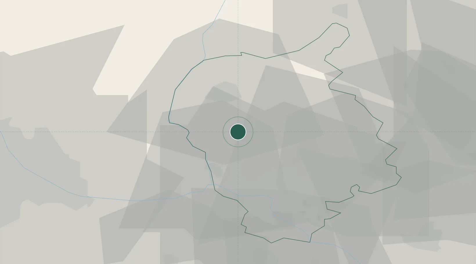
Hub Profile
Place type
Populated place
Region
Bratislava Region
Population
3,052
Time zone
Europe/Bratislava
Elevation
184 m
Location
Nearby Logistics Neighbours
Cities
- 1Zohor5 km
- 2Svaty Jur9 km
- 3Malacky11 km
- 4Rohoznik17 km
- 5Malé Leváre20 km
Ports
- 1Bakar388 km
- 2Monfalcone388 km
- 3Rijeka Luka388 km
- 4Trieste390 km
- 5Muggia393 km
Airports
Trade Zones
DatabookThe Record of Consolidated Knowledge
Slovakia beyond logistics?