Transport Functions
Rail
Road
Multimodal
Hub Profile
Place type
Provincial seat
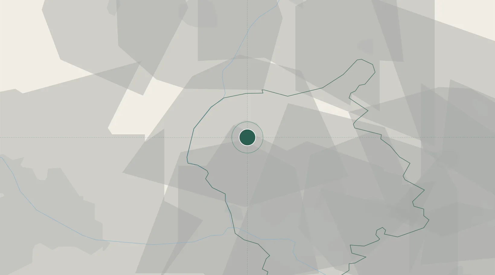
Region
Bratislava Region
Population
18,804
Time zone
Europe/Bratislava
Elevation
164 m
Location
Nearby Logistics Neighbours
Cities
- 1Malé Leváre8 km
- 2Lozorno11 km
- 3Rohoznik12 km
- 4Dürnkrut13 km
- 5Zohor13 km
Ports
- 1Monfalcone395 km
- 2Bakar396 km
- 3Trieste396 km
- 4Rijeka Luka397 km
- 5Muggia400 km
Airports
- 1Malacky/Kuchyňa Air Base8 km
- 2M. R. Štefánik Airport33 km
- 3Vienna International Airport49 km
- 4Piešťany Airport64 km
- 5Kunovice Airport73 km
Trade Zones
DatabookThe Record of Consolidated Knowledge
Slovakia beyond logistics?