Transport Functions
Multimodal
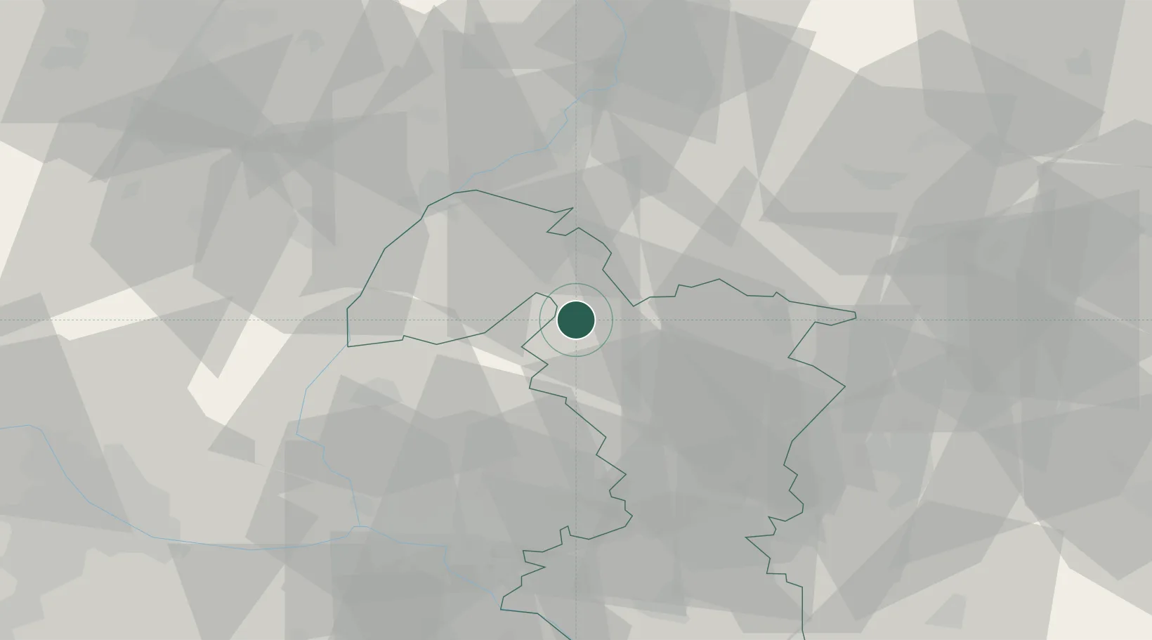
Hub Profile
Place type
Populated place
Region
Trnava Region
Time zone
Europe/Bratislava
Elevation
208 m
Location
Nearby Logistics Neighbours
Cities
- 1Brezova pod Bradlom11 km
- 2Dojc13 km
- 3Boleráz18 km
- 4Zvoncín23 km
- 5Rohoznik24 km
Ports
- 1Bakar427 km
- 2Rijeka Luka428 km
- 3Monfalcone428 km
- 4Trieste430 km
- 5Muggia433 km
Airports
- 1Piešťany Airport30 km
- 2Malacky/Kuchyňa Air Base31 km
- 3Kunovice Airport48 km
- 4M. R. Štefánik Airport50 km
- 5Brno-Tuřany Airport81 km
Trade Zones
DatabookThe Record of Consolidated Knowledge
Slovakia beyond logistics?