UN/LOCODE hub · Austria
ATDUR

Dürnkrut

48.4667°, 16.8500°
2
Transport functions

Transport Functions

Rail
Road
UN/LOCODE

Hub Profile

Region
3
GeoNames

Location

Location of ATDUR
Natural Earth 10m (public domain) · 3 · ATDUR · 48.47, 16.85GoogleOSMYandex

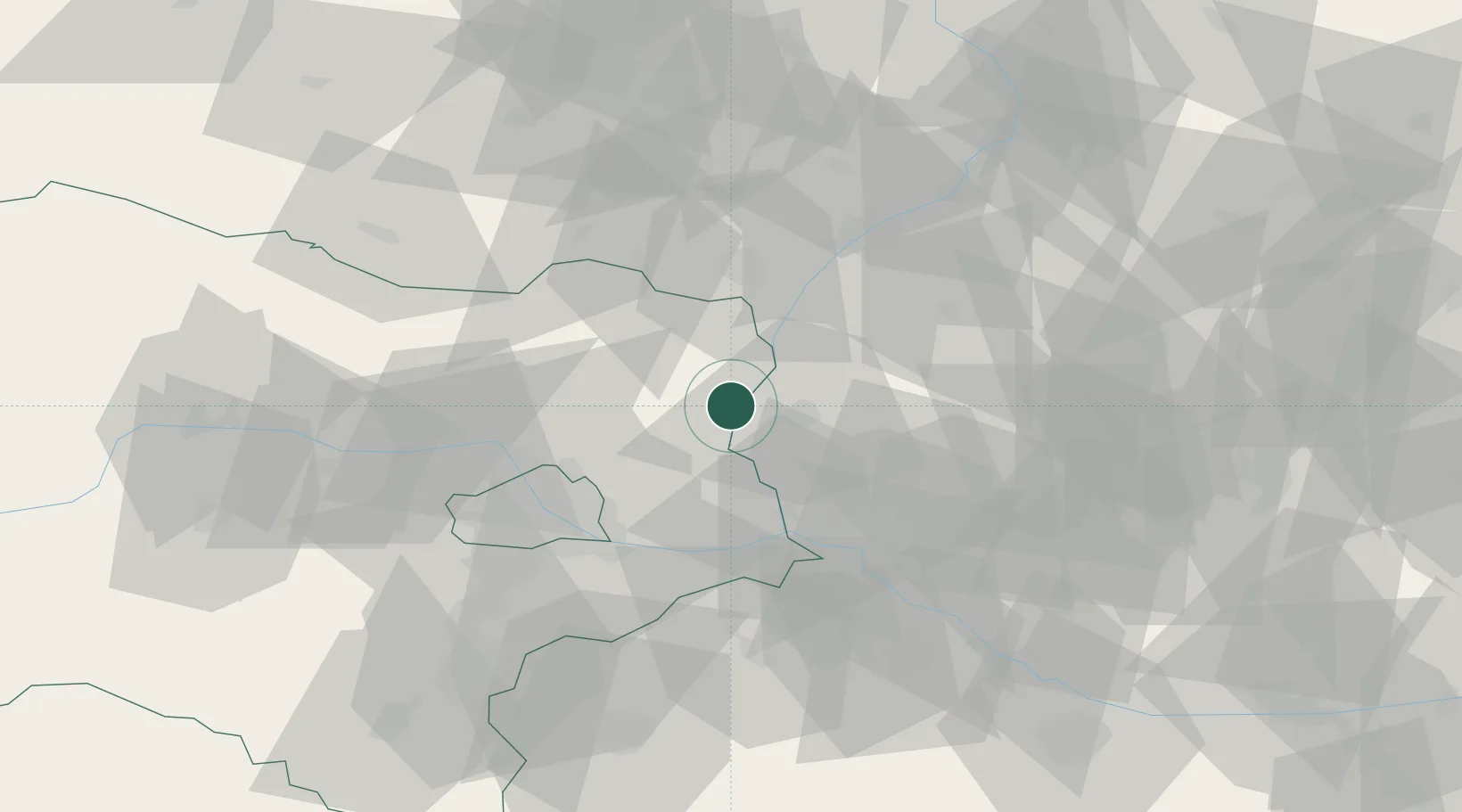
Nearby Logistics Neighbours

Cities
  1. 1Loidesthal8 km
  2. 2Spannberg9 km
  3. 3Malé Leváre9 km
  4. 4Prottes13 km
  5. 5Malacky13 km
Nearest neighbours — logibook spatial index (haversine) over the source coordinates
Ports
  1. 1Monfalcone389 km
  2. 2Trieste392 km
  3. 3Bakar394 km
  4. 4Rijeka Luka394 km
  5. 5Muggia395 km
Nearest neighbours — logibook spatial index (haversine) over the source coordinates
Airports
  1. 1Malacky/Kuchyňa Air Base21 km
  2. 2M. R. Štefánik Airport43 km
  3. 3Vienna International Airport45 km
  4. 4Piešťany Airport74 km
  5. 5Kunovice Airport76 km
Nearest neighbours — logibook spatial index (haversine) over the source coordinates
Trade Zones
  1. 1Veselí nad Moravou Industrial Zone67 km
  2. 2Černovická Terasa Industrial Zone80 km
  3. 3Holešov Industrial Zone108 km
  4. 4Mošnov Development Area164 km
  5. 5Světlá nad Sázavou Municipal Industrial Zone170 km
Nearest neighbours — logibook spatial index (haversine) over the source coordinates
DatabookThe Record of Consolidated Knowledge
Austria beyond logistics?
Browse databook

All Sources

LocationsUN/LOCODE
UN/LOCODE — free
Portsthe NGA World Port Index
Public domain (US gov)
AirportsOurAirports
Public domain
Trade Zonesthe World Bank SEZ database
CC BY 4.0
Trade ZonesOpen Zone Map
CC BY
← Austria locations