Transport Functions
Rail
Road
Hub Profile
Place type
Provincial seat
Region
Trnava Region
Population
19,883
Time zone
Europe/Bratislava
Elevation
144 m
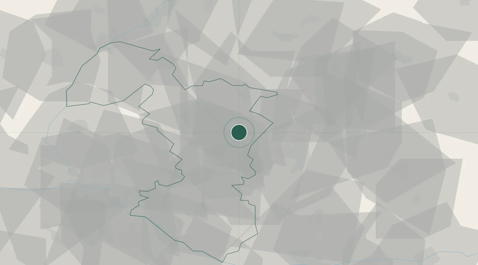
Location
Nearby Logistics Neighbours
Cities
- 1Siladice7 km
- 2Krízovany nad Dudváhom14 km
- 3Cab14 km
- 4Velke Ripnany16 km
- 5Trnava17 km
Ports
- 1Bakar426 km
- 2Rijeka Luka428 km
- 3Omisalj433 km
- 4Trieste435 km
- 5Monfalcone435 km
Airports
- 1Piešťany Airport23 km
- 2Malacky/Kuchyňa Air Base50 km
- 3M. R. Štefánik Airport51 km
- 4Kunovice Airport73 km
- 5Győr-Pér Airport88 km
Trade Zones
DatabookThe Record of Consolidated Knowledge
Slovakia beyond logistics?