Transport Functions
Road
Multimodal
Hub Profile
Place type
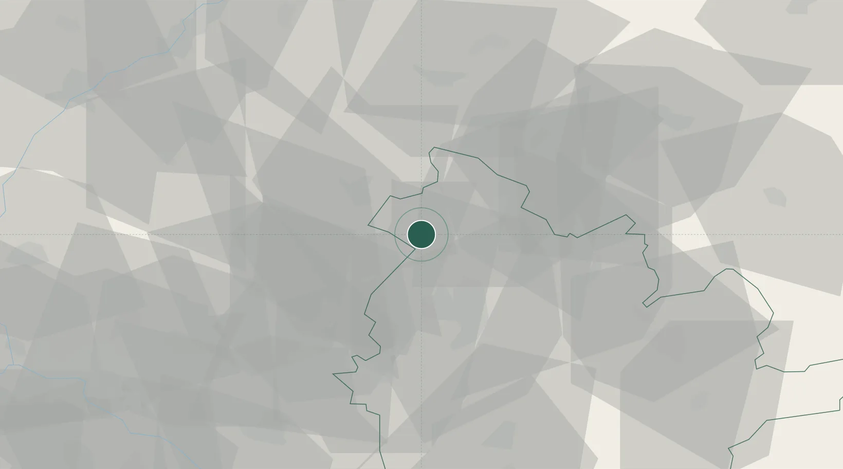
Populated place
Region
Nitra Region
Time zone
Europe/Bratislava
Elevation
171 m
Location
Nearby Logistics Neighbours
Cities
- 1Cab11 km
- 2Hlohovec16 km
- 3Krusovce18 km
- 4Nitrianske Hrnciarovce22 km
- 5Sisov22 km
Ports
- 1Bakar442 km
- 2Rijeka Luka443 km
- 3Omisalj449 km
- 4Trieste451 km
- 5Monfalcone451 km
Airports
- 1Piešťany Airport18 km
- 2Malacky/Kuchyňa Air Base65 km
- 3M. R. Štefánik Airport68 km
- 4Kunovice Airport71 km
- 5Sliač Airport86 km
Trade Zones
DatabookThe Record of Consolidated Knowledge
Slovakia beyond logistics?