Transport Functions
Port
Multimodal
Hub Profile
Place type
Populated place
Region
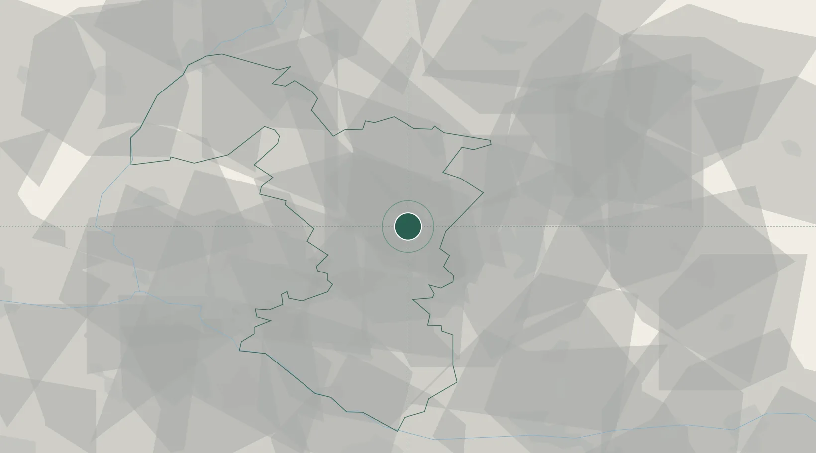
Trnava Region
Time zone
Europe/Bratislava
Elevation
134 m
Location
Nearby Logistics Neighbours
Cities
- 1Hlohovec7 km
- 2Krízovany nad Dudváhom7 km
- 3Dolna Streda11 km
- 4Trnava12 km
- 5Hrnciarovce nad Parnou14 km
Ports
- 1Bakar420 km
- 2Rijeka Luka421 km
- 3Omisalj427 km
- 4Trieste428 km
- 5Monfalcone429 km
Airports
- 1Piešťany Airport29 km
- 2M. R. Štefánik Airport45 km
- 3Malacky/Kuchyňa Air Base47 km
- 4Kunovice Airport77 km
- 5Győr-Pér Airport82 km
Trade Zones
DatabookThe Record of Consolidated Knowledge
Slovakia beyond logistics?