Transport Functions
Road
Multimodal
Hub Profile
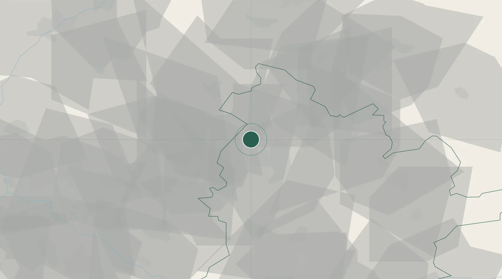
Place type
Populated place
Region
Nitra Region
Population
791
Time zone
Europe/Bratislava
Elevation
151 m
Location
Nearby Logistics Neighbours
Cities
- 1Velke Ripnany11 km
- 2Nitrianske Hrnciarovce13 km
- 3Hlohovec14 km
- 4Siladice18 km
- 5Mojmírovce21 km
Ports
- 1Bakar433 km
- 2Rijeka Luka435 km
- 3Omisalj440 km
- 4Trieste443 km
- 5Monfalcone444 km
Airports
- 1Piešťany Airport28 km
- 2M. R. Štefánik Airport63 km
- 3Malacky/Kuchyňa Air Base64 km
- 4Kunovice Airport81 km
- 5Győr-Pér Airport87 km
Trade Zones
DatabookThe Record of Consolidated Knowledge
Slovakia beyond logistics?